 Rebecca Engel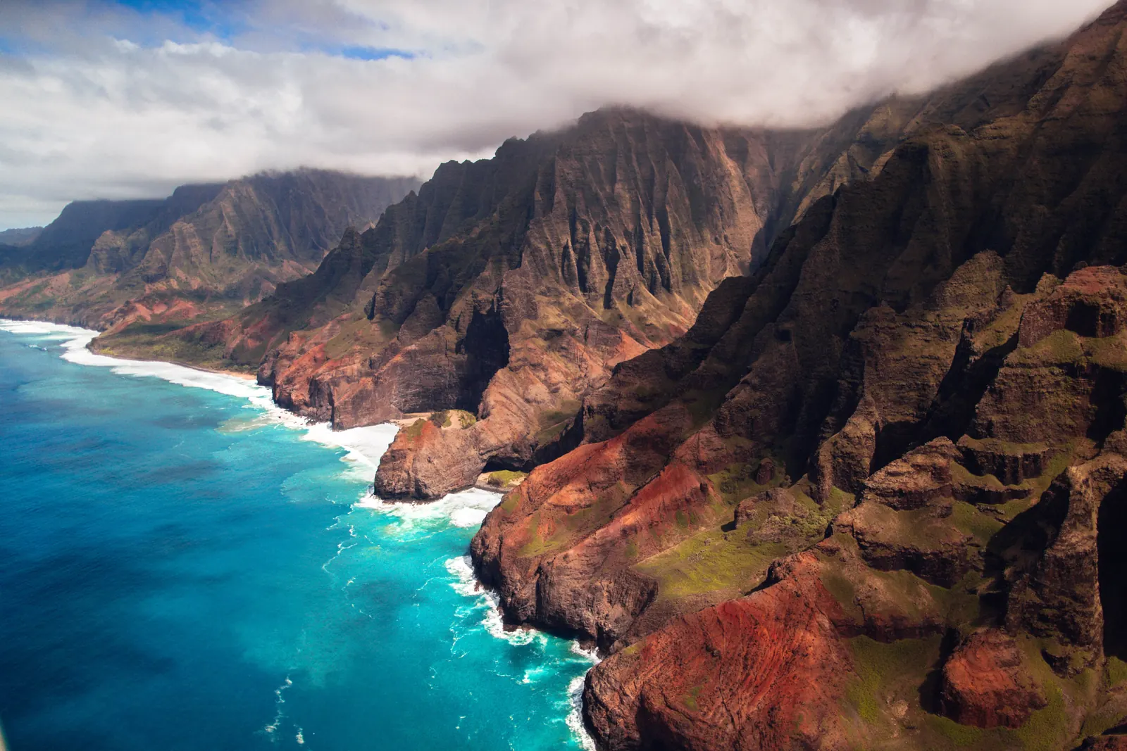
Kauai is the oldest of the main Hawaiian islands and the one that never got built up. Nothing on it stands taller than about four stories, which is where the old line about no building being higher than a coconut palm comes from. What that means for a first trip is that the island still runs on one main road, and that road has a gap in it.
There’s no loop around Kauai. The highway ends in the north at Kee Beach and again in the west past Waimea, and the seventeen miles of Na Pali coast in between have no road at all. So the difference between a good 5 day Kauai itinerary and a frustrating one is mostly about which days you spend on which side. This Kauai itinerary groups every day by shore, moves you once, and never sends you back across the island for something you drove past yesterday.
How This 5 Day Kauai Itinerary Is Built
Kauai splits into four parts and they don’t connect the way you’d expect. The east side around Lihue and Kapaa is where you land. North of that is Hanalei and the shore that ends at Kee Beach. South is Poipu, and west is Waimea Canyon and the road that peters out at Polihale.
Between the north end and the west end sits the Na Pali coast, which is roadless. You can see it from a boat, from a helicopter, or on foot, and all three are covered further down. What you can’t do is drive it.
So the whole plan comes down to not backtracking. Days one, two and three work north from the airport. Days four and five work south and west. You change accommodation once, at the end of day three, and that’s the only time you pack a bag.
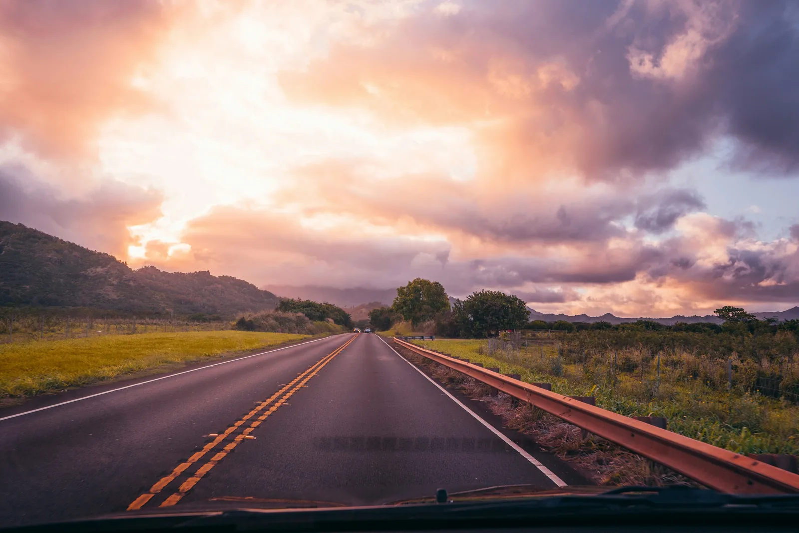
Drive times are short on paper and longer in practice. Lihue to Hanalei is about an hour, Lihue to Poipu about half that, and Lihue up to the Waimea Canyon lookouts is closer to an hour and a half. Add the one lane bridges on the north shore, where you take turns with oncoming traffic, and the fact that everybody slows down for the chickens.
Two things need booking before you fly and both of them sell out. Haena State Park, which is where day three happens, releases reservations thirty days ahead at midnight Hawaii time, and the parking slots go almost immediately. Kilauea Point, on day two, only opens Wednesday through Saturday and needs a timed ticket of its own.
Day 1: The East Side, Wailua Falls And Kapaa
You land at Lihue, and the good news is that the first day needs almost no driving. Everything below sits within twenty minutes of the airport, which is what you want after a flight that probably took most of a day.
This is also the gentlest introduction to the island. Two roadside waterfalls, a river valley, and a town you can walk around in the evening.
Morning: Wailua Falls, Ten Minutes Off The Highway
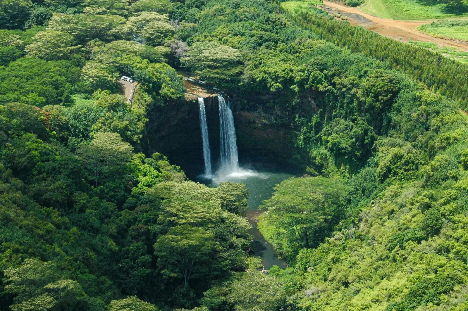
Wailua Falls sits at the end of Maalo Road, a few miles inland from Lihue, and you can see it straight from the car park. There’s no hike involved, which makes it the easiest waterfall on the island to get to.
It drops in two ribbons into a pool below, and if it looks familiar that’s because it opened every episode of Fantasy Island. Morning light is better here and the pullout is small, so early is worth it.
The path people scramble down to the base is unofficial, badly eroded and genuinely dangerous. The view from the top is the whole point.
Afternoon: Opaekaa Falls And The Wailua River
Head back through Kapaa and up Kuamoo Road for Opaekaa Falls, another roadside waterfall with a proper railing and a car park. It’s a two minute walk from where you leave the car.
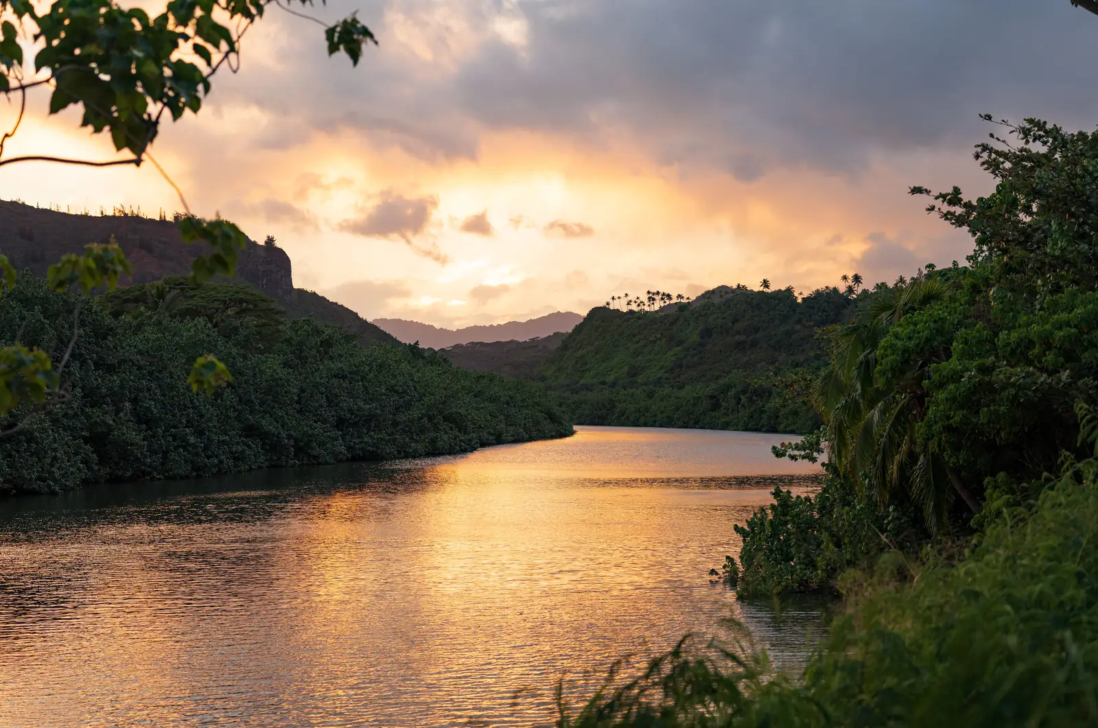
Cross the road from the lookout and there’s a second view most people miss, straight down over the Wailua River as it bends through the valley below. It’s often called the only navigable river in Hawaii.
The river is the standard kayak trip on Kauai and outfitters run it from a landing further down. That works better as a proper half day than a tired first afternoon, so it’s completely fine to just look at it.
Evening: Kapaa Town And The Coastal Path
Kapaa is the closest thing Kauai has to a town you can wander around in the evening. It’s a few blocks of low wooden storefronts, shave ice, and more places to eat than anywhere else on the island.
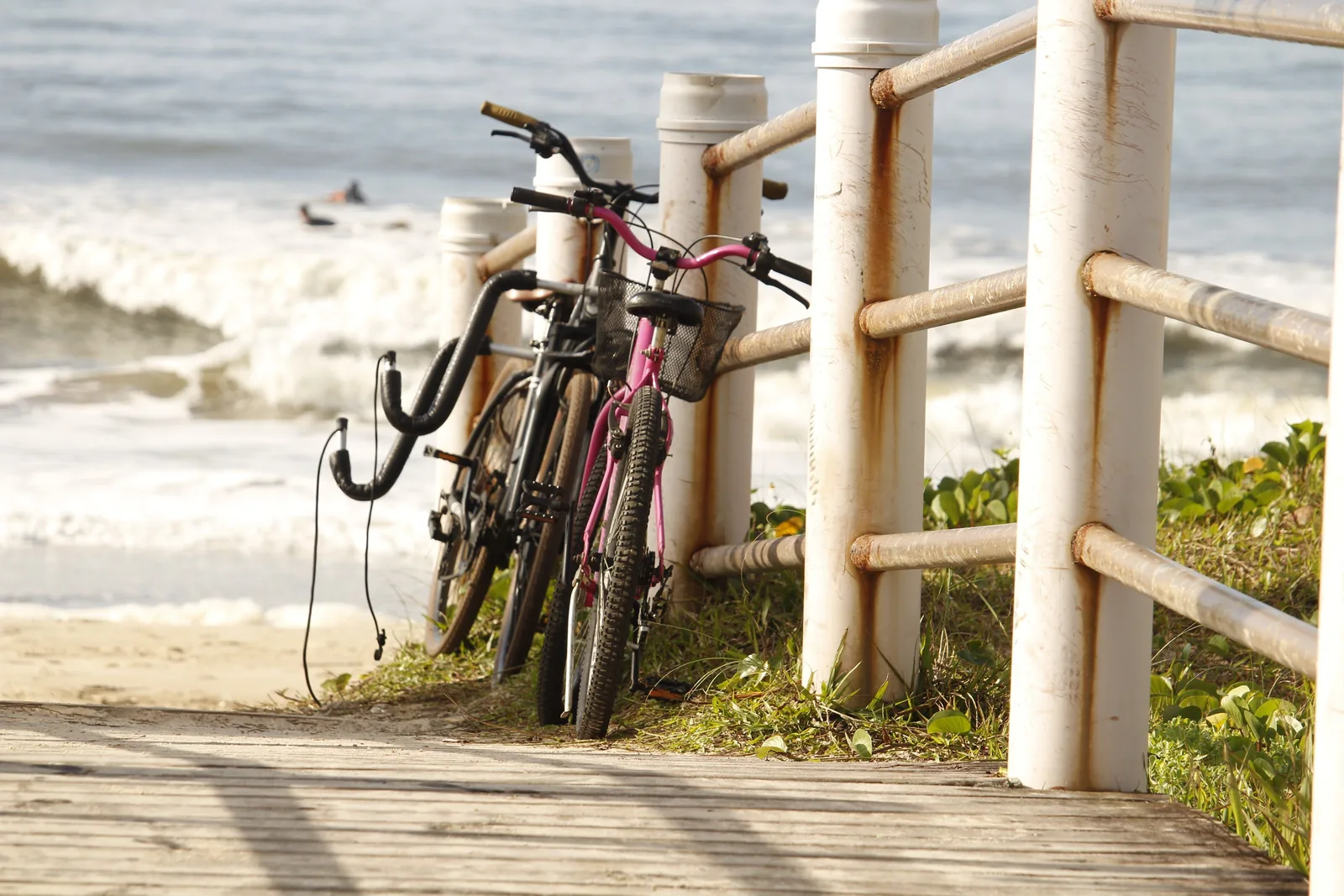
Behind it runs Ke Ala Hele Makalae, a paved coastal path that goes for several miles with the water on one side the whole way. Rent a bike, or just walk a stretch of it at sunset.
Then head north to your accommodation while it’s still light. The road to Hanalei is not one you want to meet for the first time in the dark.
Day 2: The North Shore And Hanalei Bay
The north shore is the Kauai people picture. Green cliffs going straight up behind a bay, taro fields flooded in the valley, one lane bridges where somebody has to wait.
It’s also the wettest side of the island, so mornings tend to be your best window. Today is deliberately short on driving; everything sits along about fifteen miles of coast road.
Morning: Kilauea Point And The Lighthouse
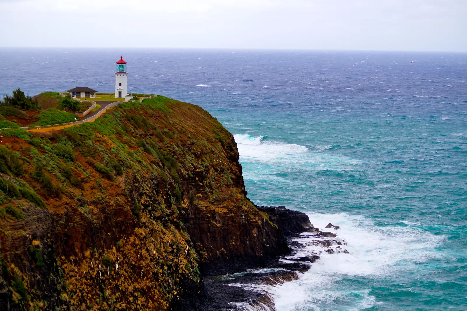
Kilauea Point is a headland on the northern tip of the island with a lighthouse from 1913 on the end of it and a seabird colony all around. Red footed boobies, frigatebirds, tropicbirds, and albatross nesting in winter.
This is the one that catches people out. The refuge only opens Wednesday through Saturday, ten in the morning until four in the afternoon, and everybody sixteen and over needs a timed ticket booked ahead on recreation.gov.
If your day two lands on a Sunday, swap this with another morning or take the free view from the overlook further up Kilauea Road instead. It isn’t the same thing, but it’s something.
Afternoon: Hanalei Town And Hanalei Bay
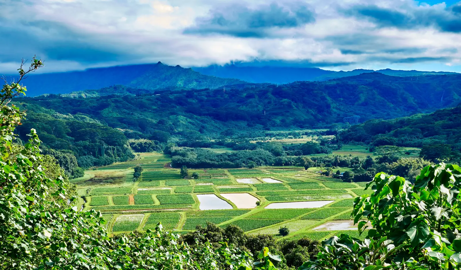
Coming down into Hanalei you pass a lookout over the valley, with taro laid out in flooded squares and the river winding through it. Stop there, then take the bridge into town.
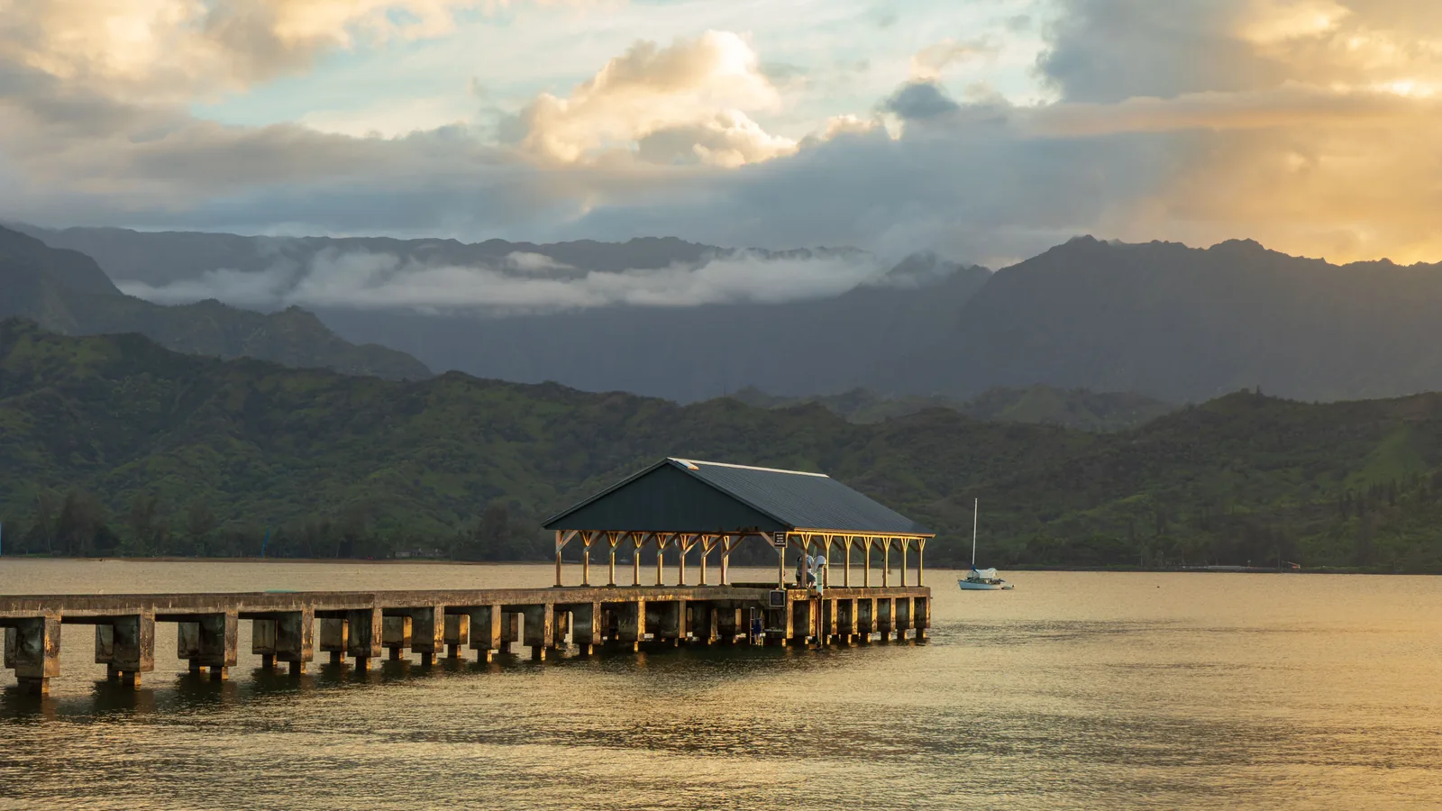
Hanalei itself is small and low slung, a couple of streets of surf shops and food, with a two mile crescent of bay behind it and mountains standing at the far end of it. The old pier on the east side of the bay is the photo everybody takes and it earns it.
The bay is calm and swimmable through the summer and turns into serious surf in winter. Watch what everyone else is doing before you get in.
Late Afternoon: Anini Or Tunnels Beach
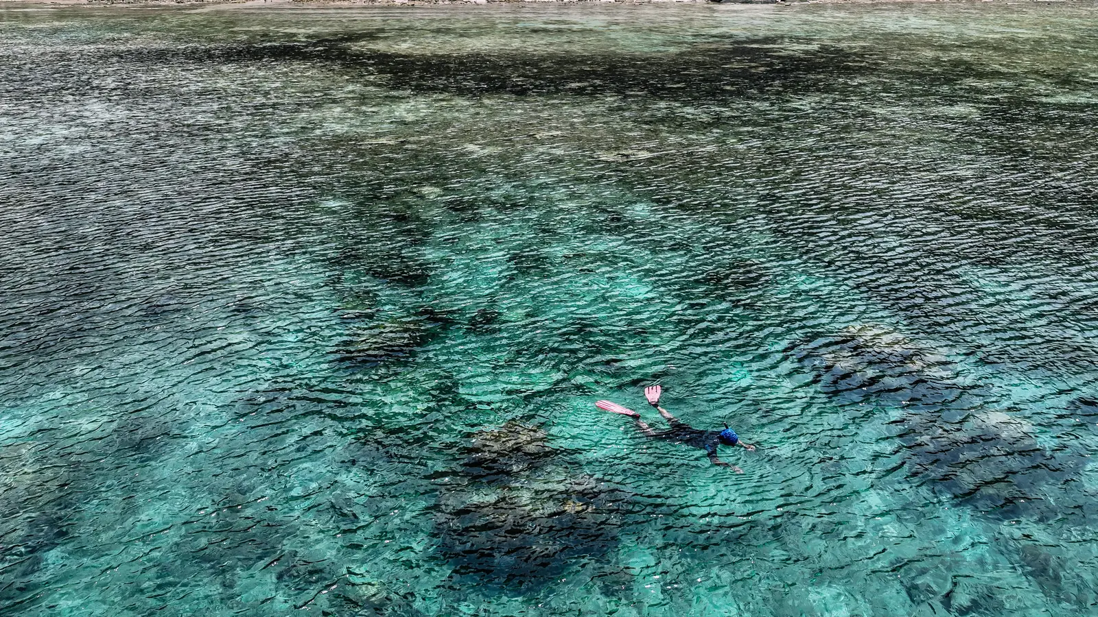
Two options depending on the water. Anini sits behind one of the longest fringing reefs in Hawaii, which makes it about the calmest place on this coast and the safest bet with kids.
Tunnels, further west, has the better snorkeling, over a reef with actual swim throughs in it. Parking is a handful of roadside spots that fill by mid morning, so it’s a late afternoon stop or nothing.
Neither is worth forcing in winter. When the north shore is up, both of them go from swimming to spectating.
Day 3: The End Of The Road At Haena
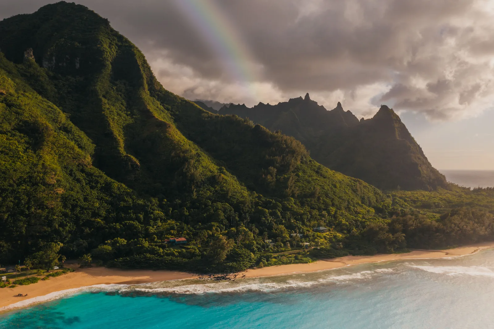
Today is the reason you booked thirty days out. Haena State Park is the last place the road reaches on the north shore, and past its car park the coast keeps going for another seventeen miles with nothing but a footpath on it.
Non residents need a reservation to get in, and there are three kinds: a roundtrip shuttle ticket, a parking slot with entry, or entry on its own. The parking goes fastest by a distance, and the shuttle from Waipa is the reliable fallback when it’s gone.
Morning: The Kalalau Trail To Hanakapiai Beach
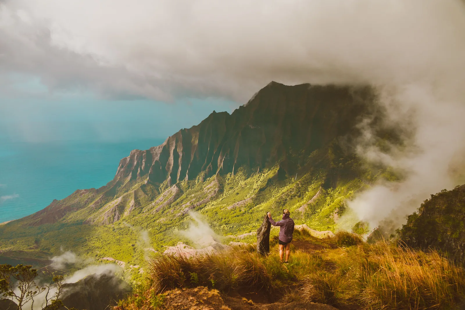
The Kalalau Trail starts at the end of the car park and climbs almost immediately. Two miles later it drops down onto Hanakapiai Beach, and four miles there and back is the standard day hike.
It isn’t long, but it’s rooted, muddy in most conditions, and it goes up and down the entire way. Wear boots or trail shoes, not sandals. The payoff starts about half a mile in, when the trail turns a corner and the whole Na Pali coastline opens up behind you.
Do not swim at Hanakapiai. There’s a sign at the beach counting the drownings and it isn’t decoration. The current there runs straight out to sea and there’s no headland to catch you.
Going any further than the beach gets into permit territory, and the rules covering the valley and the falls above it have changed more than once. Check the current position with Hawaii State Parks rather than trusting a blog post. This itinerary stops at the beach.
Afternoon: Kee Beach And The Reef
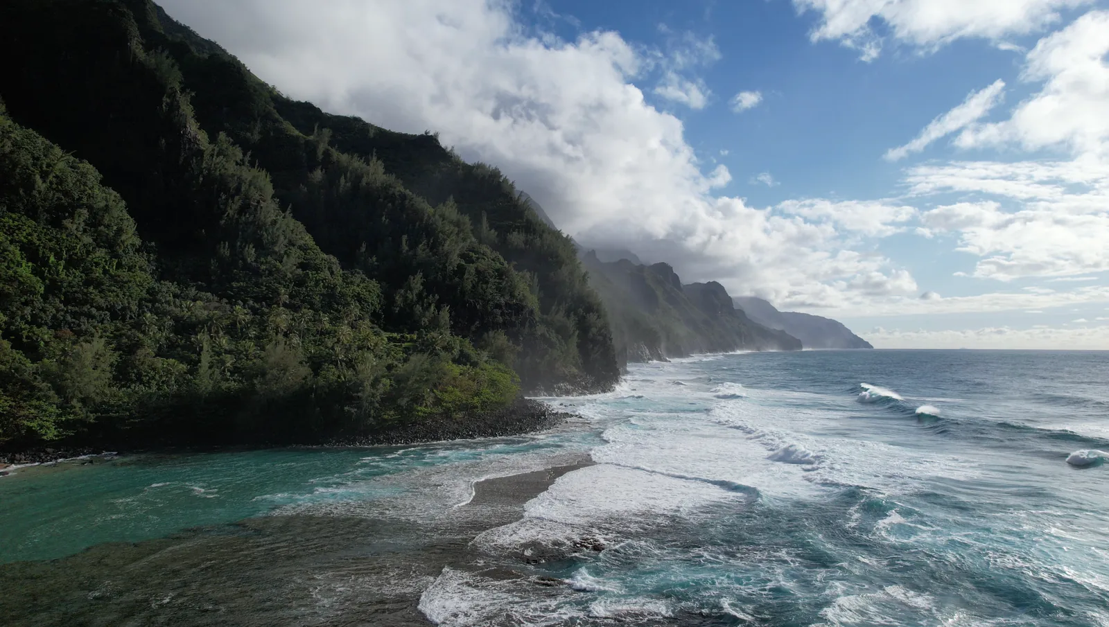
Kee is the beach at the very end of the road, tucked in under the first of the Na Pali cliffs. In calm summer conditions there’s a reef lagoon in front of it that makes for gentle, easy snorkeling.
In winter it’s a different beach entirely and swimming is often out of the question. Either way, the view west along the cliffs late in the afternoon is the one you came for.
Your reservation covers the whole park, so the hike and the beach are the same ticket. Most people walk first and swim after, which is the right order to do it in.
Late Afternoon: Limahuli Garden, Then South
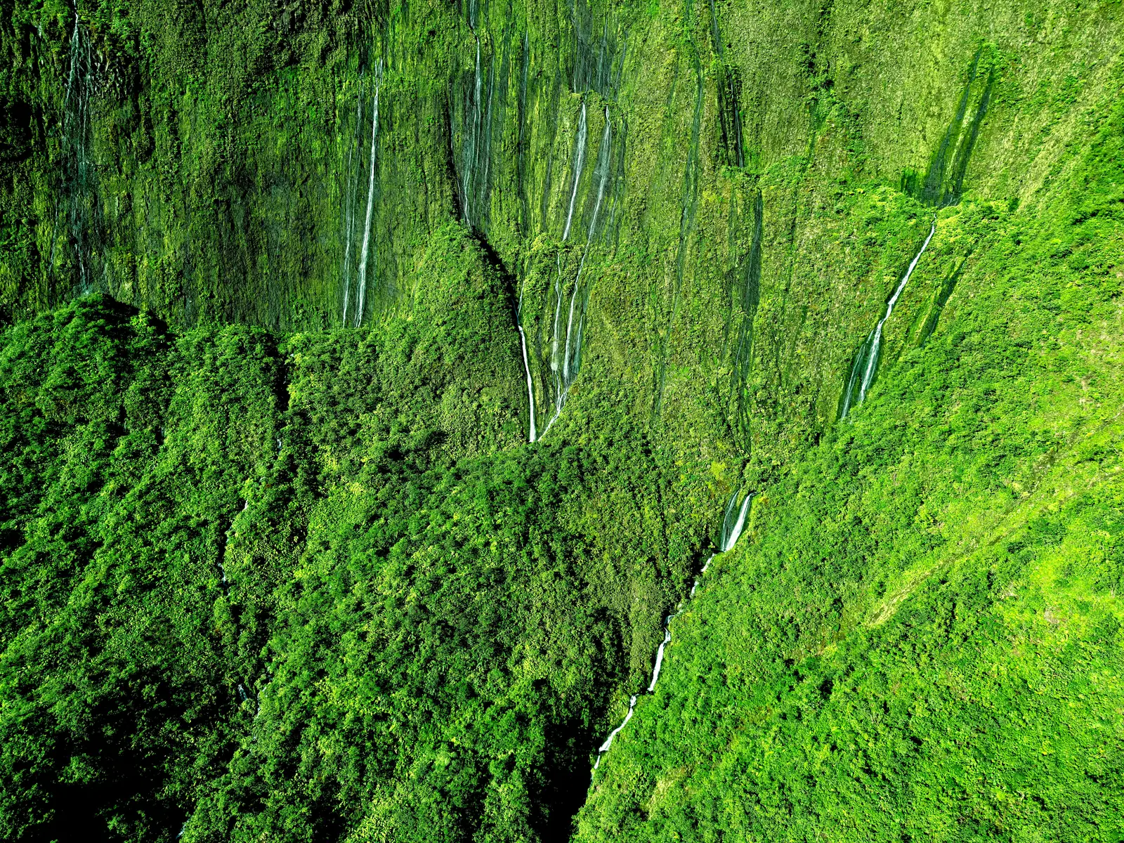
Limahuli sits a few minutes back down the road, a botanical garden built into a valley with stone terraces that have been farmed for something like seven hundred years. It’s a self guided loop of under a mile and takes about an hour.
Admission is charged and visitor numbers are limited, so arrange it ahead rather than turning up hopeful. It pairs well with the park because it’s the same valley system seen from a completely different angle.
This is your move day. Drive south to Poipu in the evening, roughly two hours, and you’re finished crossing the island for the rest of the trip.
Day 4: The South Shore And Poipu
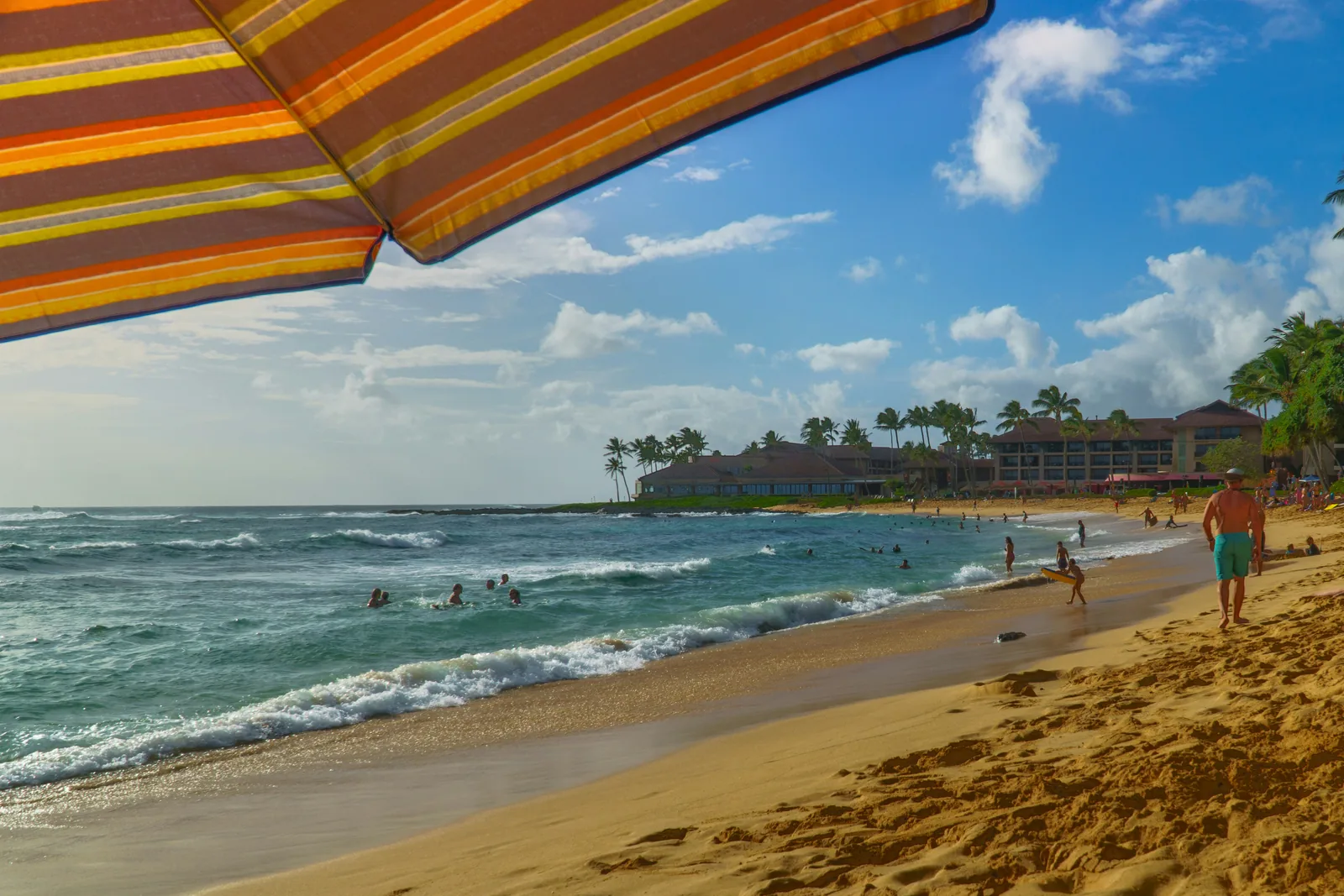
The south shore is the sunny side. If the north was grey for three days straight, this is where the trip evens out, and it’s why most of the island’s hotels ended up down here.
Everything today sits within about fifteen minutes of Poipu, so it’s another low driving day.
Morning: Poipu Beach And The Monk Seals
Poipu Beach Park is two crescents of sand split by a sandbar, with a shallow protected pool on one side that’s about the best place on Kauai for small kids to get in the water.
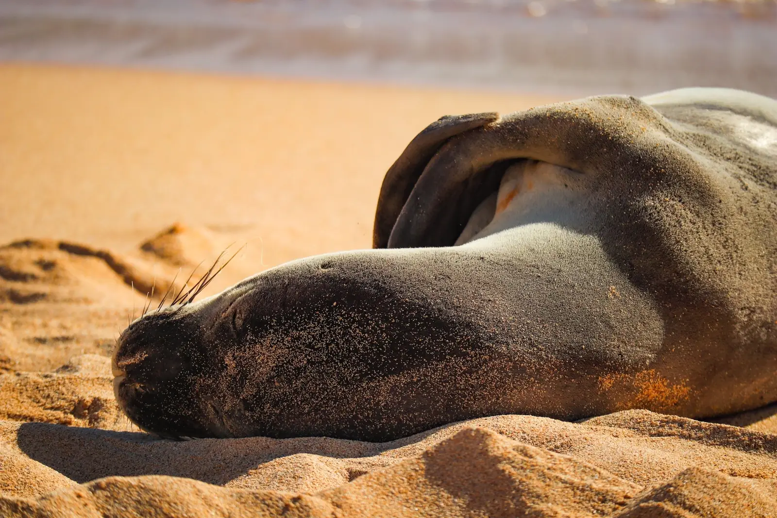
Hawaiian monk seals haul out here regularly. There are only around fifteen hundred of them left in the world, and when one comes ashore volunteers rope off a wide circle around it. Stay outside the rope. Getting close is illegal and the fines are serious.
Snorkeling off the right hand crescent is decent and easy. Sea turtles turn up often enough that it stops being a surprise.
Midday: The Mahaulepu Heritage Trail
Drive east past the resorts to Shipwreck Beach and the trail starts up on the bluff behind it. It runs about two miles along the coast to Mahaulepu, over limestone cliffs and dunes with nothing built on any of it.
This is the last stretch of undeveloped coastline on the south shore and it looks nothing like the rest of the island. Sandstone, wind, and open ocean on your right the entire way.
There’s no shade at all out there. Go early or late, take water, and turn around whenever you feel like it since it’s an out and back.
Afternoon: Spouting Horn And Old Koloa Town
Spouting Horn is a lava tube in the shelf at Poipu’s western end that fires seawater twenty feet or more into the air when a swell pushes through it. There’s a groaning noise that comes with it, which the old story explains as a giant lizard trapped underneath.
It takes ten minutes and it’s free. Bigger surf makes it better, so it’s one of the few things on Kauai that improves in winter.
Then Old Koloa Town on the way back, a restored plantation street with the remains of Hawaii’s first sugar mill from 1835 at one end of it. It’s small, it’s shaded by huge monkeypod trees, and it’s a good place to eat before the long day tomorrow.
Day 5: Waimea Canyon And The West Side
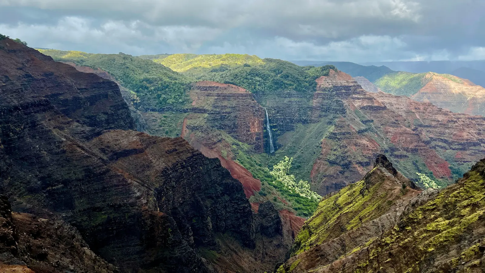
The last day goes up. Waimea Canyon is around ten miles long and more than three thousand feet deep, cut into the middle of an island you can drive across in an hour, which is the part that doesn’t quite make sense until you’re standing at the edge of it.
Leave early. The lookouts cloud over as the day warms up, and by early afternoon you can be looking at a wall of white.
Morning: The Waimea Canyon Lookouts
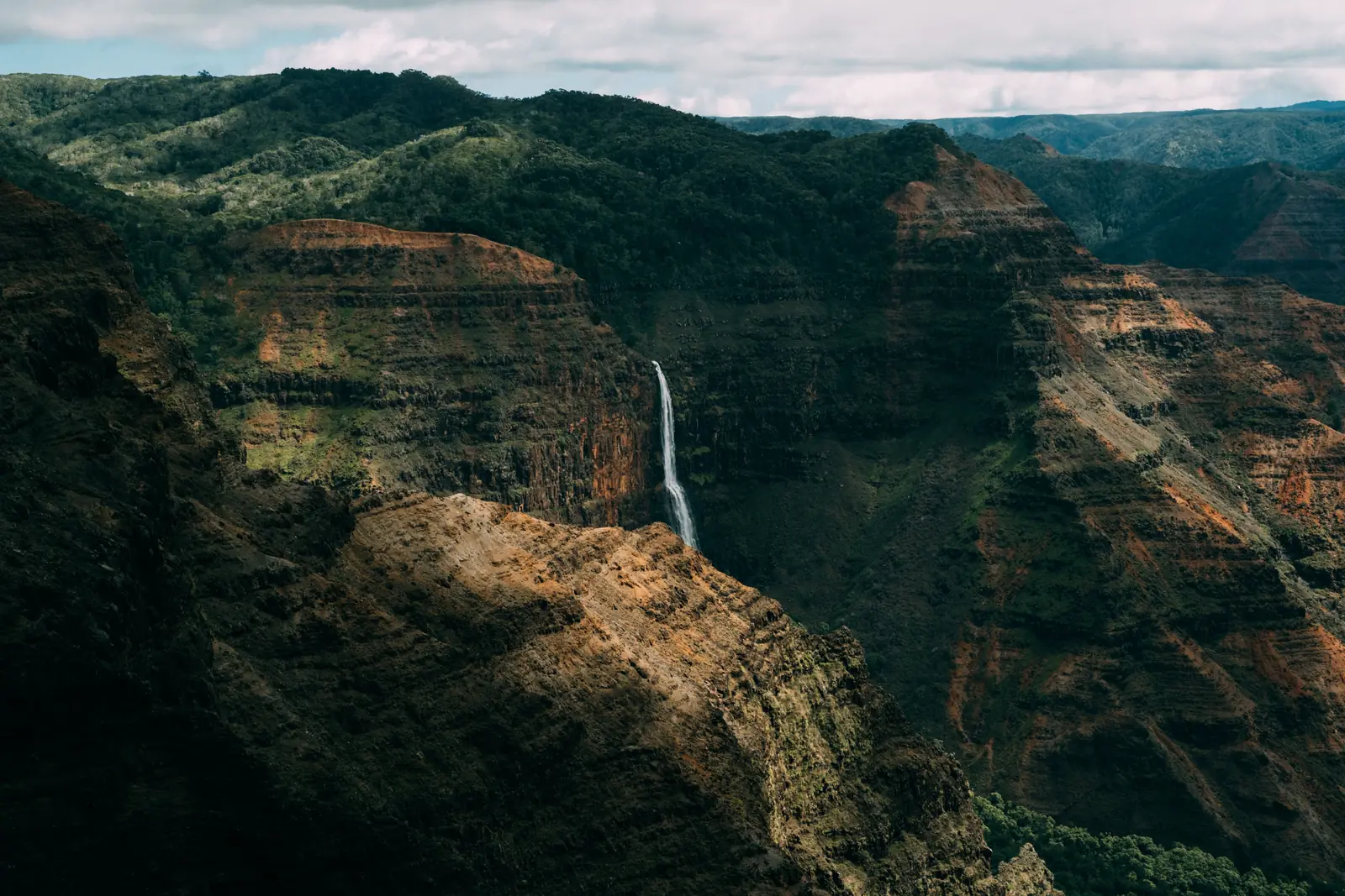
The road climbs from the town of Waimea and the first proper stop is the main canyon lookout, about ten miles up. Red and green walls, a waterfall on the far side, and usually a rainbow somewhere in the middle of it.
Non residents pay a small entry fee per person plus parking, and it covers Waimea Canyon and Kokee together, so you only pay the once.
Keep going up rather than turning around here. Puu Hinahina, a couple of miles further along, gives you the canyon from a second angle and a view out to the island of Niihau on a clear day.
Late Morning: The Kalalau Lookout At Kokee
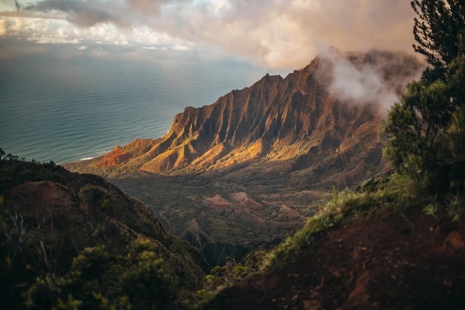
At the top of the road, another twenty minutes past the canyon, the land simply ends and you’re looking four thousand feet down into Kalalau Valley on the Na Pali coast.
This is the only way to see Na Pali without a boat, a helicopter, or a serious hike, and it costs nothing beyond the fee you already paid. Puu o Kila, the last car park on the road, gives you a second angle on the same valley.
It clouds in constantly up there. If it’s white when you arrive, wait twenty minutes. The valley opens and closes all morning and plenty of people leave about two minutes too early.
Afternoon: Hanapepe And The Way Back
Coming down, Hanapepe calls itself Kauai’s biggest little town and it’s about a block long. There’s a swinging footbridge over the river that bounces properly when you walk out onto it, and a row of galleries and old wooden storefronts either side of the main street.
Friday evening is art night, when the whole street opens up and it’s the busiest the town gets all week. Any other day it’s very quiet, which is its own kind of appeal.
The Kauai Coffee estate is signposted just before it, the largest coffee farm in the United States, with a free self guided walk through the fields and as much tasting as you want at the end. It’s a decent last stop before the airport.
How To See The Na Pali Coast
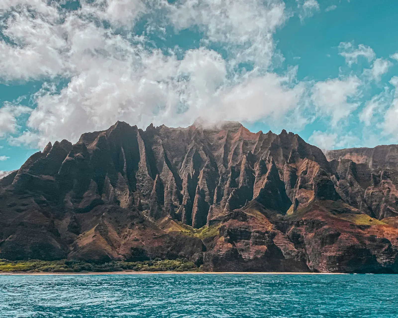
This is the part of Kauai with no road on it, and seeing it properly is the one thing worth adding to the five days above. Weather decides when, so leave it flexible rather than locking it to a fixed morning.
There are three ways in and they suit different trips.
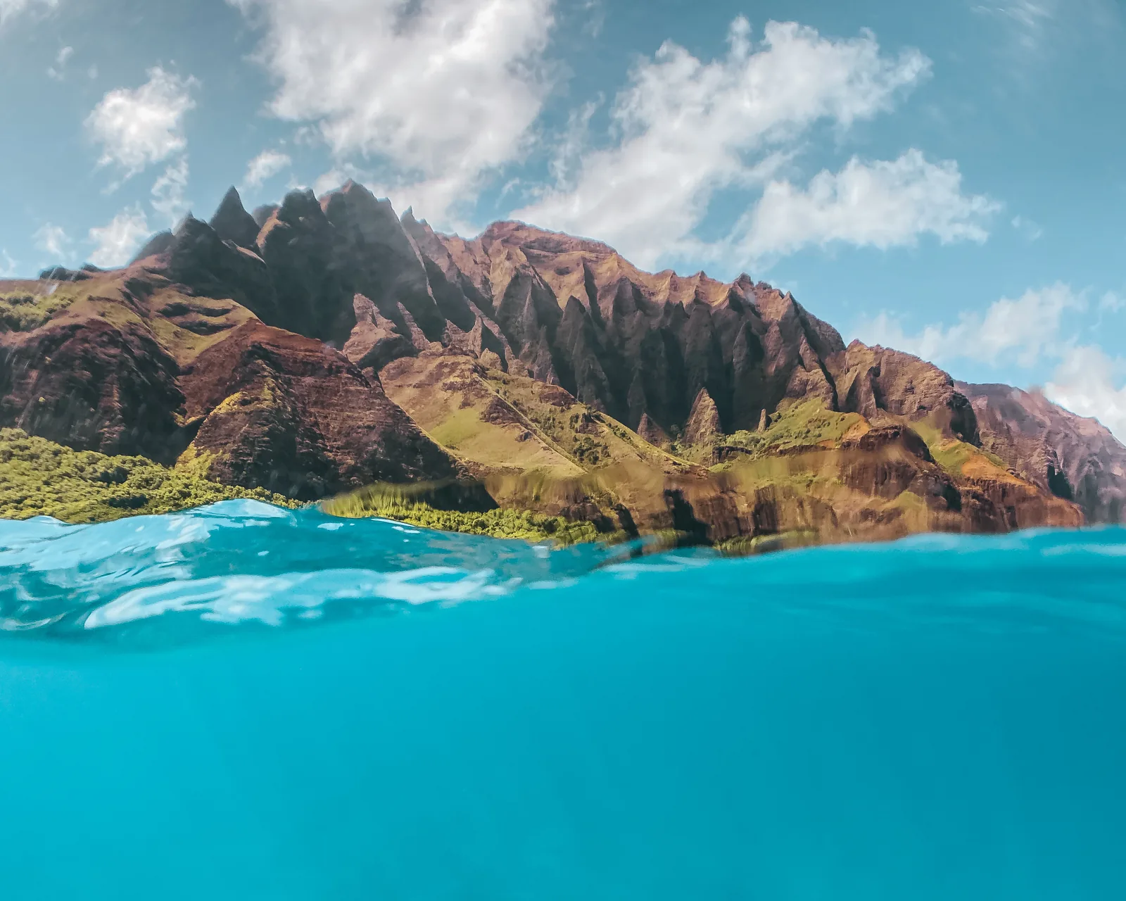
By Boat
Boats leave from two places and the season decides which. Port Allen on the west side runs all year and takes longer to reach the coast. Hanalei on the north shore is much closer but only runs roughly April through October, because winter swell makes loading a boat there unsafe.
Summer trips usually get into the sea caves and winter ones usually can’t. Morning departures are calmer than afternoon ones almost every time.
It’s the option that gets you closest to the cliffs, and between December and April it doubles as the best whale watching on the island.
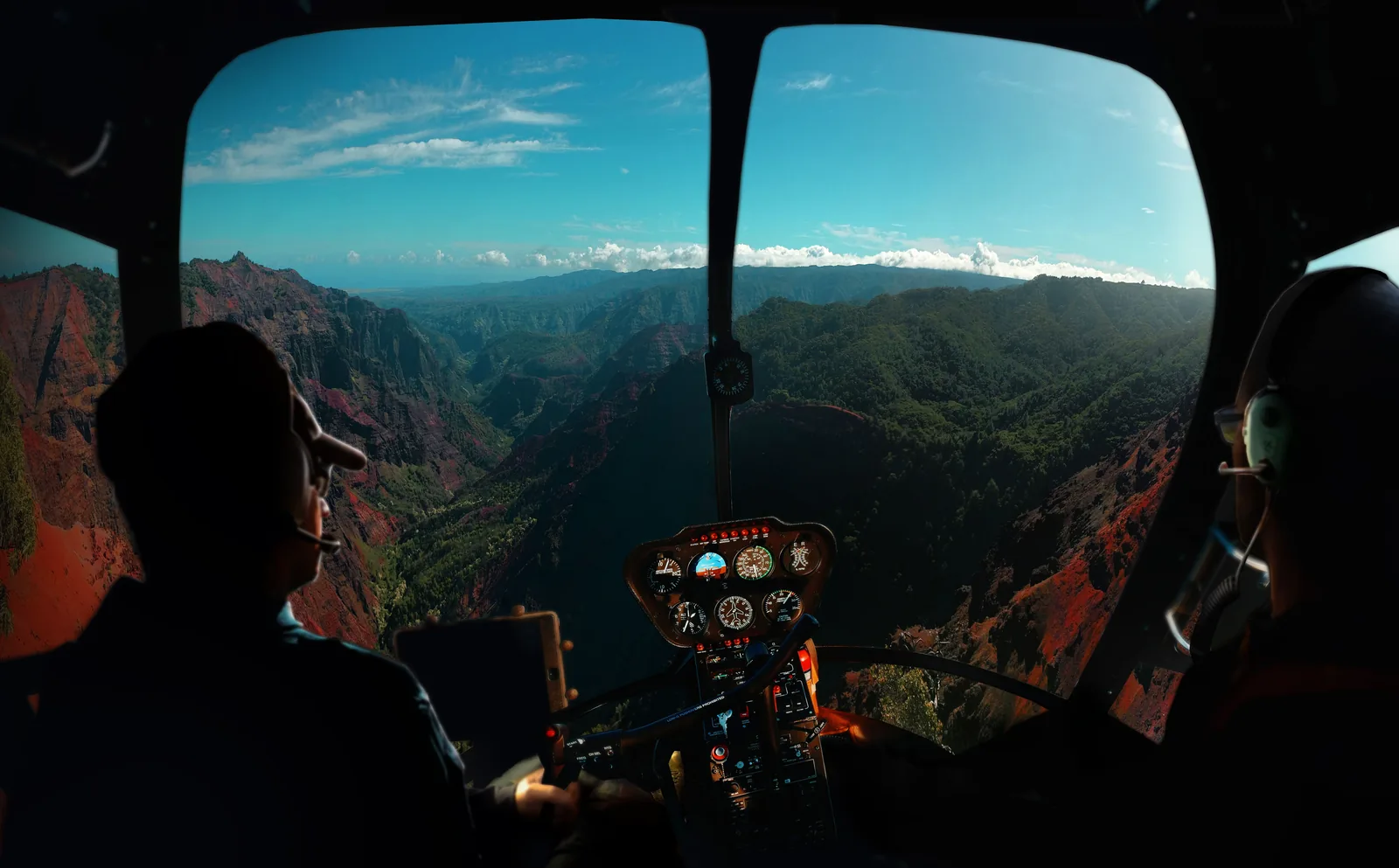
By Helicopter
Helicopters fly out of Lihue and cover the canyon, the interior, and the whole Na Pali coastline in under an hour. They also reach the middle of the island, which nothing on the ground gets anywhere near.
It’s the most expensive hour of the trip by a wide margin. Doors off costs more again and is much better if you care about the photographs.
Take a morning slot if you can. Cloud builds over the interior as the day goes on and the wettest part of the island is often shut in by lunchtime.
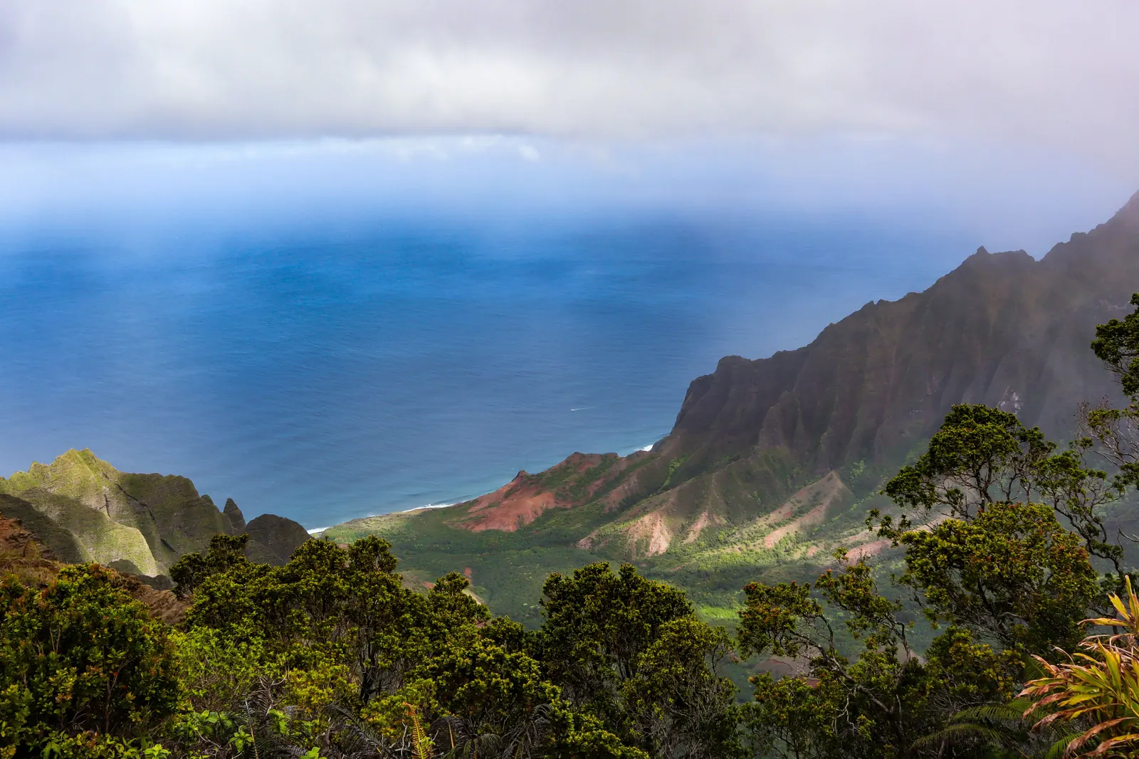
On Foot
The Kalalau Trail on day three puts you on the coast itself, and two miles in is enough to understand the scale of the place. That’s the version most people should do.
Beyond the beach the trail runs eleven miles to Kalalau Valley and needs a camping permit even if you’re walking in and out in a day. Those permits release well in advance and go quickly.
The free option is the Kalalau Lookout on day five, looking down into the same valley from four thousand feet up. Different view, no effort, no permit.
Best Time To Visit Kauai
Kauai has weather rather than seasons. It’s warm all year, somewhere between the mid seventies and the mid eighties, and the real difference between months is rain and surf, not temperature.
Summer, roughly May through September, is when the north shore calms down. Snorkeling at Kee and Tunnels works, the Hanalei boats run, and the water is at its clearest.
Winter flips it. The north shore gets big surf and more rain, the south shore stays sunny and swimmable, humpbacks show up between December and April, and the waterfalls are at their best.
April into early June and September into early November land in between, with lower prices and fewer people on the trails. If the dates are yours to choose, those are the ones to choose.
One thing that surprises people: the middle of the island is one of the wettest places on earth. Mount Waialeale takes over four hundred inches of rain a year. The coasts are nothing like that, but it does explain why a shower can blow through on a clear day and be gone again in ten minutes.
Where To Stay On Kauai
This itinerary uses two bases, north for the first three nights and south for the last two. That’s one move, and it’s the version that saves the most driving overall.
North means Princeville or Hanalei. It’s the prettiest part of the island and the closest to Haena, which is what matters on day three. It’s also the wettest, and in winter it can be genuinely grey for days at a time.
South means Poipu or Koloa. Reliably sunny, most of the resorts, easy access to the west side on day five, and about ninety minutes from the north shore.
If you’d rather not move at all, Kapaa on the east side splits the difference. Nothing is far, but nothing is close either, and you’ll do more driving across the week. It’s usually the cheaper option and it works perfectly well.
Book early whichever you pick. Kauai has far fewer rooms than the other main islands on purpose, and that four story cap means it isn’t going to get many more.
What To Know Before Your First Trip To Kauai
Rent a car. There’s no way around it. The island has a bus system but it isn’t built for visitors, and half of this itinerary is in places a bus doesn’t go.
Book the reservations first and plan the rest around them. Haena opens thirty days ahead at midnight Hawaii time and the parking is gone within minutes. Kilauea Point is Wednesday to Saturday only. Both are far easier to build a trip around than to squeeze in later.
Reef safe sunscreen is the law here. Anything containing oxybenzone or octinoxate can’t be sold in Hawaii and shouldn’t go in the water on your skin either.
Take the beach warnings seriously. More people drown on Kauai than you’d ever guess from how gentle it looks, usually at unguarded beaches on days when the surf was up. If a beach is empty and the water looks interesting, that’s information.
The chickens are everywhere and they start early. They’ve been feral since a hurricane took out the coops in 1992 and nobody has managed to do much about them since. Bring earplugs.
And nothing is open late. Kauai eats early and shuts early, so a nine o’clock dinner plan is going to end in disappointment.
Final Thoughts
Five days is plenty for Kauai as long as you stop trying to see it in circles. The island doesn’t reward a loop, because there isn’t one.
Grouped this way you get three unhurried days in the north, a sunny one in the south, and one big one up the canyon, with the Na Pali coast slotted in wherever the weather allows it. That’s a 5 day Kauai itinerary that leaves you feeling like you were on a trip rather than on a schedule.
Book Haena and Kilauea Point the moment your dates are fixed. Everything else on this Kauai itinerary can move around, and honestly, some of the best hours on this island are the ones nobody planned.