 Rebecca Engel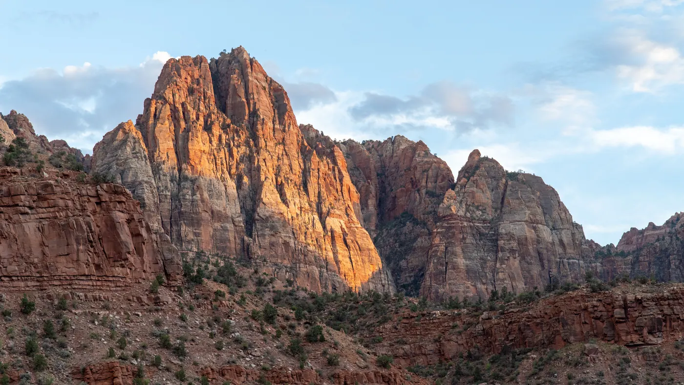
Zion is small for a national park, and that’s the whole trick of it. The main canyon is about six miles long, the walls stand two thousand feet over your head, and almost everything worth seeing sits within a short walk of one shuttle line. You don’t spend your days driving between viewpoints the way you do in the bigger parks.
What that also means is that the famous spots get crowded, two of them now need a permit, and a couple of the trails in the old guidebooks aren’t there any more. So here are seventeen things to do in Zion National Park that are actually open, actually worth the time, and spread across enough of the park that you’re not standing in the same line as everyone else all day.
1. Climb The Chains To Angels Landing
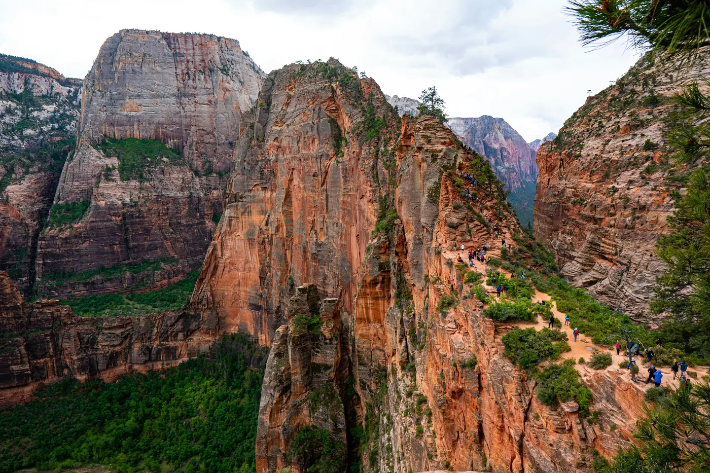
This is the hike people picture when they picture Zion. It runs about five and a half miles round trip from the Grotto, climbs roughly fifteen hundred feet, and finishes along a sandstone fin barely wide enough for two people to pass, with chains bolted into the rock and a very long way down on both sides.
The part before the chains is a workout on its own. Twenty one tight switchbacks called Walter’s Wiggles carry you up to Scout Lookout, which is where a lot of people sensibly decide they’ve gone far enough. The view from there is already excellent.
You need a permit for anything past Scout Lookout, and it’s a lottery. There’s a seasonal one you enter months ahead for a block of dates, and a day before lottery that opens after midnight and closes at three in the afternoon, with permits handed out at four. It costs a few dollars to apply and a little more per person if you win.
Enter both. The day before lottery is genuinely winnable outside the busiest weeks, and plenty of people get in that way after missing the seasonal draw.
2. Wade The Virgin River Through The Narrows
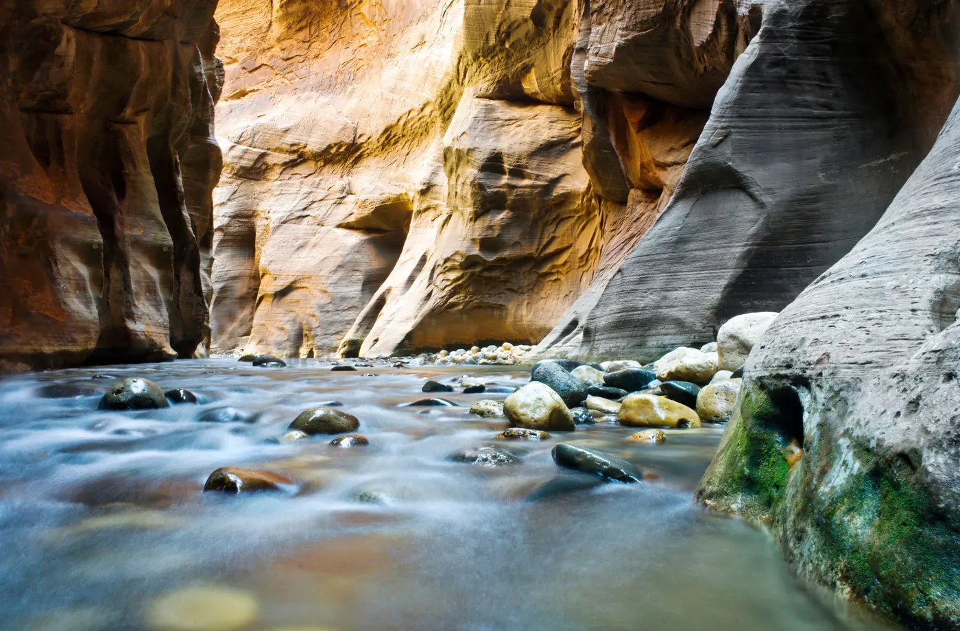
The Narrows isn’t a trail next to a river. The river is the trail. The canyon squeezes down until the walls are twenty or thirty feet apart and a thousand feet tall, and the only way through is to walk up the water.
Most people go bottom up from the Temple of Sinawava, which needs no permit at all. You walk the paved path to where it ends, step into the river, and keep going as far as you feel like before turning around. The stretch called Wall Street, a few hours in, is where the canyon gets tightest.
Rent the gear in Springdale. Canyoneering boots, neoprene socks and a sturdy walking stick turn a miserable slippery scramble into a good day, and the river is cold enough to matter even in summer.
The one thing to check before you go is the flow rate. The park closes the Narrows when the Virgin River runs above 150 cubic feet per second, and it closes on any flash flood warning. Both happen, and neither is negotiable.
3. Take The Back Way To Observation Point
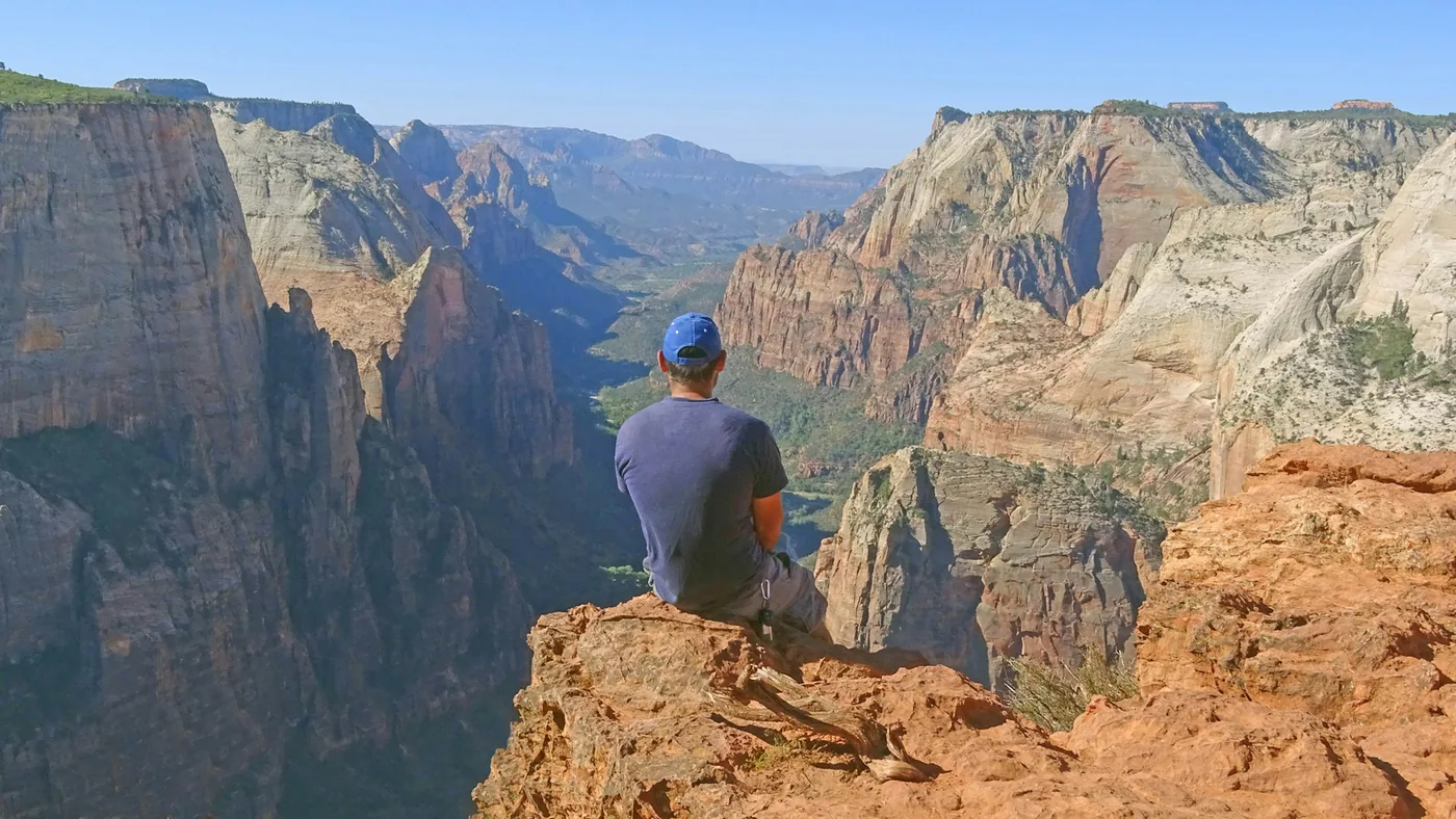
Observation Point sits about seven hundred feet higher than Angels Landing and looks down on it. It’s the best view in the park, and getting there is now the strangest logistics puzzle in Zion.
The classic route up the East Rim Trail from Weeping Rock has been shut since a huge rockfall came off Cable Mountain in 2019. The park still lists it as a long term closure with no reopening date, so it has been gone for seven years and counting. Plenty of older blog posts and guidebooks still send people to a trailhead they can’t use.
The way in now is the East Mesa Trail, which comes at the point from above instead of below. It’s about six and three quarter miles round trip with only three hundred feet of climbing, which makes it far easier than the old route ever was. Roughly three hours at a normal pace.
The catch is the trailhead. It sits outside the park at the end of high clearance dirt roads off North Fork Road, and those roads turn to slop after rain and stay bad through winter and spring. If you’re in a rental sedan, a local outfitter at Zion Ponderosa runs a shuttle out to the trailhead for a few dollars, which solves the problem entirely.
4. Catch The View From Canyon Overlook
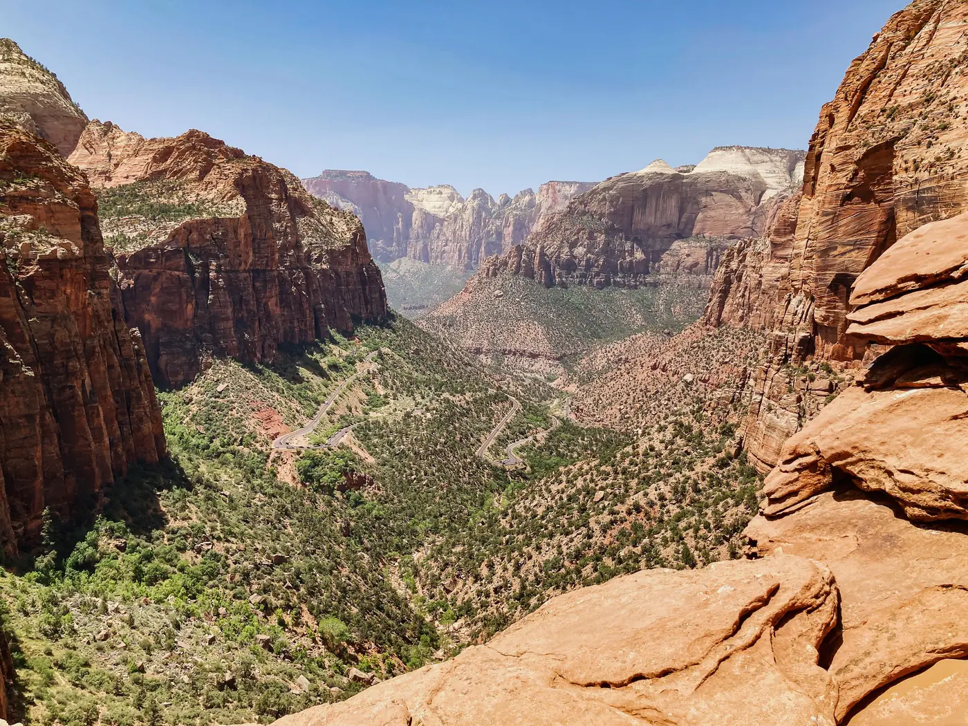
For the amount of effort involved, nothing in Zion pays better. Canyon Overlook is about a mile round trip with a little over a hundred and fifty feet of climbing, and it ends on a ledge looking straight down Pine Creek canyon at the switchbacks and the big towers beyond.
The trail starts right at the east end of the tunnel, so you drive to it rather than taking the shuttle. That’s part of the appeal, because it means you can do it early or late without thinking about shuttle times.
The parking is the hard part. There are only a couple of dozen spaces on either side of the road and they’re gone by mid morning most of the year. Come at first light or come near sunset.
The trail has some drop offs with railings and a section of boardwalk pinned to the cliff, so it feels more adventurous than a mile usually does.
5. Walk Up To The Emerald Pools
Three pools sit stacked up the hillside across from Zion Lodge, connected by a set of short trails that let you turn around whenever you like.
The Lower Emerald Pool is the one to do if you only do one. It’s a paved mile or so and the path runs underneath a dripping overhang, so you walk behind a thin curtain of water falling off the rock above. On a hot afternoon that alcove is about fifteen degrees cooler than the canyon floor.
Carry on up and the Middle and Upper pools add some real climbing and some loose rock, finishing at a deep pool tucked against a sheer wall. The whole set runs around three miles if you do all of it.
Set your expectations with the season. These are seeps rather than waterfalls, and by late summer in a dry year the falls can slow to a trickle. Spring is when they actually run.
6. Follow The Riverside Walk
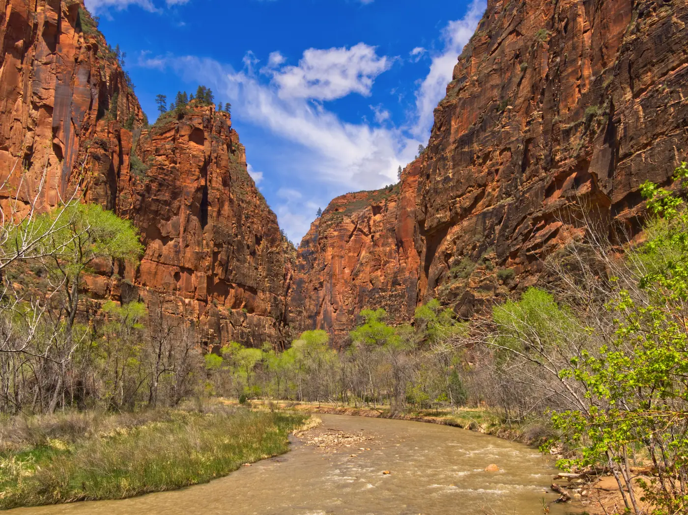
The Riverside Walk runs a bit over two miles round trip from the last shuttle stop to the mouth of the Narrows, and it’s paved the whole way.
That makes it the one big canyon walk almost anybody can do. It’s flat, it’s shaded for most of its length, and it’s manageable with a wheelchair with some assistance, which is not true of much else in the park.
It’s also genuinely beautiful rather than merely easy. The walls close in as you go, and water seeps out of the sandstone along the way to feed hanging gardens of ferns and monkeyflower growing straight out of the cliff face.
It ends exactly where the Narrows begins, so you can walk to the edge of the river, watch people wade off into the canyon, and decide for yourself whether that’s a thing you want to do.
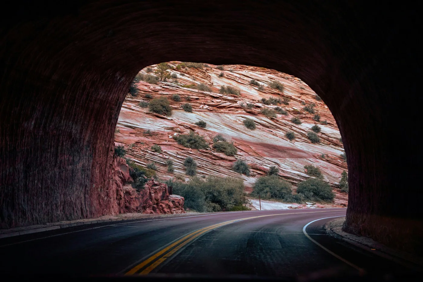
7. Drive The Zion Mount Carmel Highway
This road is one of the best things to do in Zion National Park and a lot of visitors treat it as the way out rather than a destination.
It was finished in 1930 and it climbs out of the canyon on six tight switchbacks before vanishing into a tunnel more than a mile long, cut straight through the rock. Windows were blasted into the tunnel wall as galleries, and the light through them flickers past as you drive.
Come out the far side and the landscape has completely changed. The red canyon is behind you and you’re in open white and tan slickrock country, all domes and cross hatched stone.
One practical note. The tunnel is narrow, so anything oversized needs a permit and a traffic escort, and the road takes closures for snow, ice and rockfall in winter.
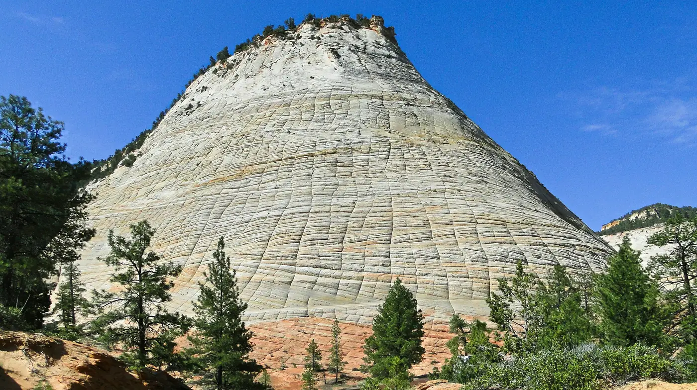
8. Pull Over At Checkerboard Mesa
Near the east entrance there’s a pale dome of sandstone covered in a grid of lines, running horizontally and vertically, that looks far too regular to be natural.
It is, though. The horizontal lines are the old sand dune layers the rock was built from, tipped and stacked, and the vertical cracks came later from the rock expanding and contracting through thousands of years of heat and frost.
There’s a pullout right in front of it, which is all this takes. Five minutes and a look up.
It’s a good reminder that the east side of the park is a different landscape from the canyon, and worth slowing down for rather than driving through.
9. Stand Under The Court Of The Patriarchs
Three sandstone peaks stand in a row above the canyon floor, and a Methodist minister passing through in 1916 named them Abraham, Isaac and Jacob. The names stuck.
From the shuttle stop it’s a very short but steep path up to the viewpoint, maybe five minutes of effort, and you get all three lined up with the meadow and cottonwoods below them.
Morning is the time to be here. The peaks face east, so they light up early and then flatten out as the day goes on.
It’s one of the few places in Zion where the scale of the walls actually reads in a photograph, because there are trees in the frame to measure them against.
10. See The Springs At Weeping Rock
Weeping Rock is a short, steep four tenths of a mile up to a big alcove where water comes straight out of the cliff face and falls past the opening like rain.
The reason it does that is worth knowing. Water soaks into the porous sandstone up on the plateau, sinks until it hits a hard layer of shale it can’t get through, then travels sideways until it reaches the cliff and drips out. The water arriving today fell as rain something like twelve hundred years ago.
The alcove stays wet and cool, so ferns and moss grow in a hanging garden right out of the rock above your head.
This one is worth flagging because it was shut for nearly two years after a rockfall in November 2023 and only reopened in September 2025. A lot of trip planning articles still list it as closed, and it isn’t.
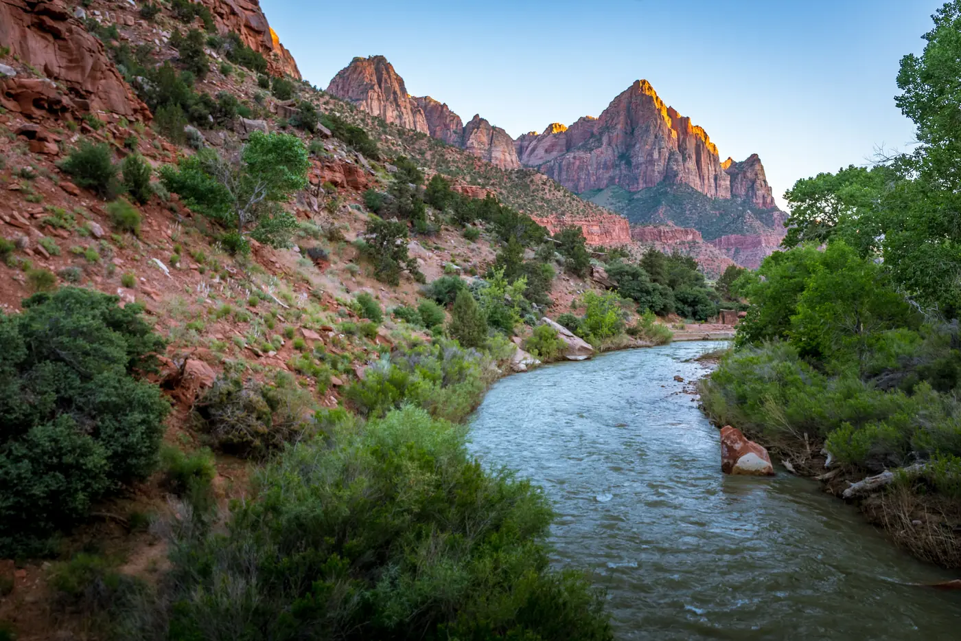
11. Watch The Sun Hit The Watchman From Canyon Junction Bridge
The Watchman is the pointed peak standing over the south end of the park, and the photograph everybody takes of it is from the bridge at Canyon Junction, with the Virgin River curling away in the foreground.
There’s a reason it’s the standard shot. In the last half hour of light the peak goes deep orange while the canyon around it drops into shadow, and the river picks up the colour of the sky.
Get there early if you want the spot on the bridge, because in summer there will be a row of tripods along the railing by sunset.
If you’d rather earn it, the Watchman Trail climbs a bit over three miles round trip from near the visitor center to a bench looking back at the same peak from higher up.
12. Rappel Through The Subway
The Subway is a stretch of the Left Fork of North Creek where the canyon has been carved into a smooth tube, with green pools stepping down the middle of it. It’s the most photographed place in Zion that most visitors never see.
Getting in takes a permit, and like Angels Landing it goes by lottery. There are two ways through it. The bottom up hike is around nine miles round trip of boulder hopping and creek crossings with no ropes needed, and the top down route is real canyoneering, with rappels, cold swims and gear you need to know how to use.
Even the bottom up version is not a casual walk. There’s no maintained trail, the route finding is on you, and the rocks are slick.
If that’s out of reach, it’s still worth knowing about, because it explains something about Zion. The canyon everybody visits is one small part of a park full of slot canyons that take a permit and some skill to get into.
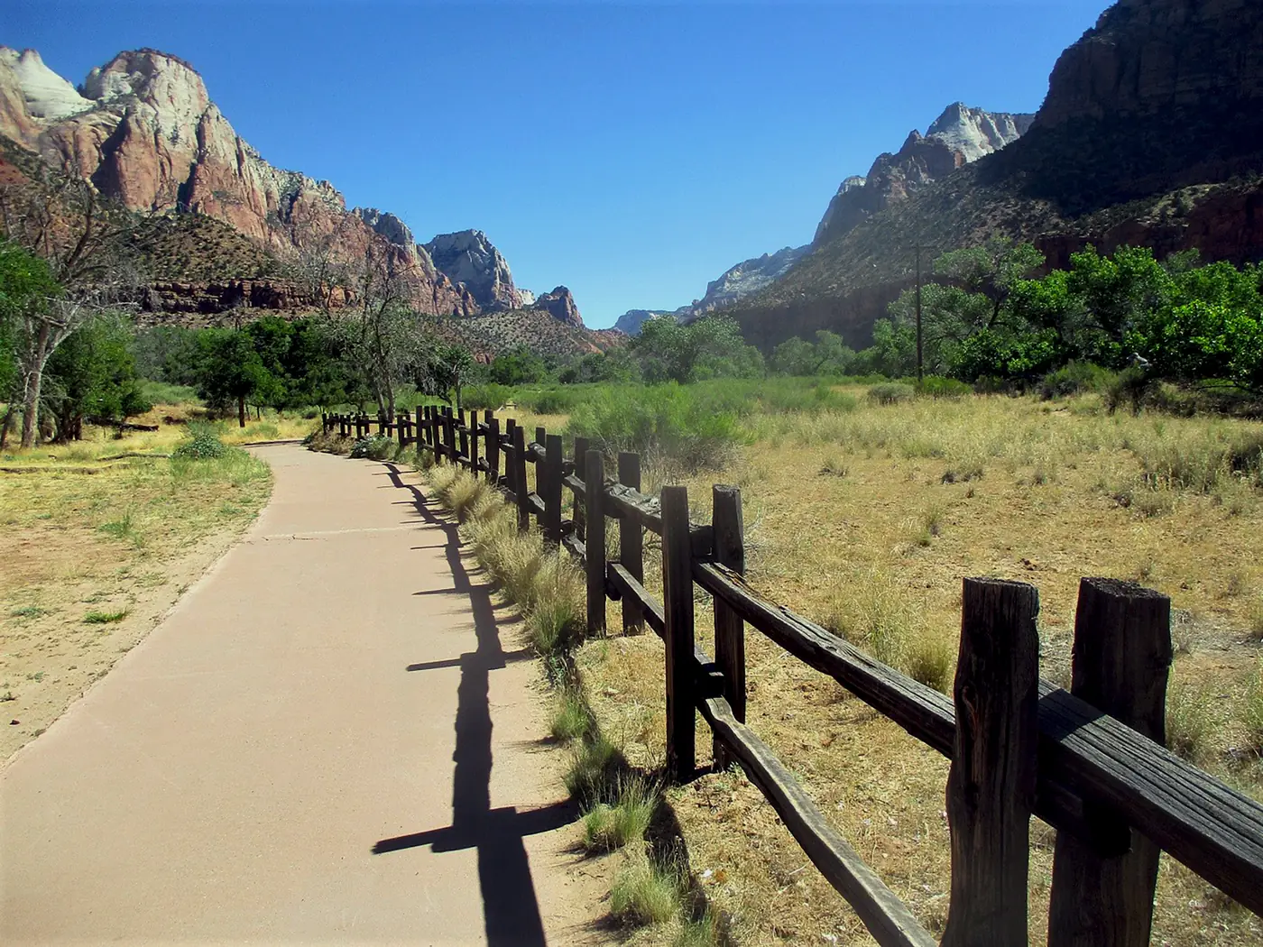
13. Bike The Pa’rus Trail
The Pa’rus Trail runs about three and a half miles round trip along the river from the campgrounds up to Canyon Junction, and it’s paved and almost completely flat.
It’s the only trail in Zion where you can ride a bike, and the only one where you can bring a dog. Both of those things are worth knowing before you turn up with either.
Riding it is also a neat way around the shuttle. You can cover the bottom of the canyon on your own schedule instead of waiting in line, and bikes are allowed on the scenic drive beyond it too.
It’s an easy evening option after a hard day, with the Watchman ahead of you the whole way and the river running alongside.
14. Drive Into Kolob Canyons
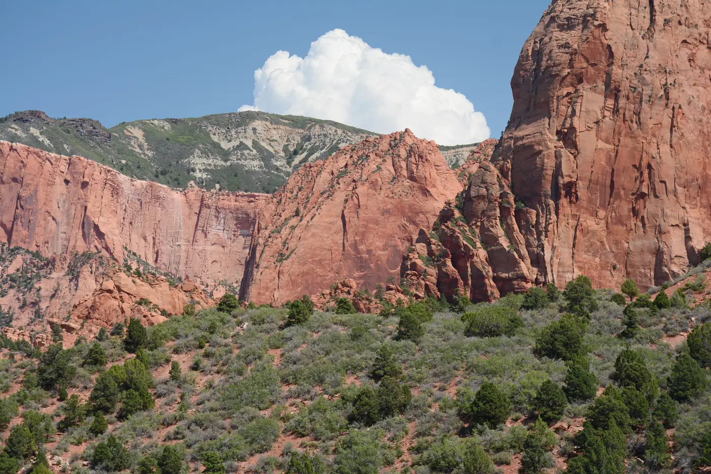
Kolob Canyons is the northwest corner of Zion, with its own entrance straight off the interstate about forty minutes from the main gate. Most people never go, which is exactly the point.
A five mile road climbs through a set of narrow red finger canyons to a viewpoint at the end, and on a busy summer weekend you might share it with a handful of cars while the main canyon is at a standstill.
The Timber Creek Overlook Trail at the end of the road is about a mile round trip and easy, with a long view south over the whole area. For something much bigger, the trail to Kolob Arch is a serious full day walk out and back to one of the largest free standing arches anywhere.
Two things to plan around. The road closes fairly often in winter snow, and there’s no food, fuel or shuttle out here, so bring what you need.
15. Sit On The Lawn At Zion Lodge
Halfway up the canyon there’s a wide green lawn under enormous cottonwood trees, with the walls going straight up on both sides of it. This is the only lodging inside the park, and the lawn is open to anyone.
It sounds like a small thing to put on a list. It isn’t. Zion is hot and hard on the legs, and an hour lying in the shade in the middle of the canyon with a drink is the thing that makes the second half of the day possible in July.
There’s a café and a restaurant here, and it’s the only place in the canyon to get food, so it’s also a practical stop rather than only a pleasant one.
The building itself is a rebuild. The original 1925 lodge burned down in 1966 and was replaced quickly, though the historic cabins around it are the real ones.
16. Stay Out For The Stars
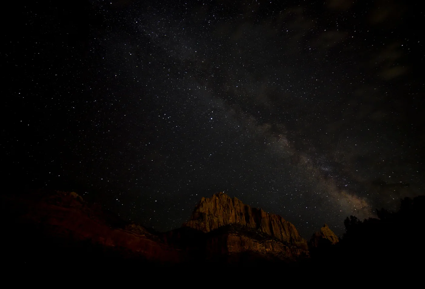
Zion was certified as an International Dark Sky Park in 2021, and the canyon does something to a night sky that flat country can’t. The walls block what little light pollution there is and frame a narrow strip of stars overhead.
The catch is that those same walls cut off a lot of sky, so the best stargazing is where things open up. The Pa’rus Trail, the area around the visitor center and anywhere out on the east side past the tunnel all work better than the deep canyon.
Check the moon before you plan a night around it. A full moon washes out the Milky Way completely, but it also lights the canyon walls well enough to walk by, which is its own thing worth seeing.
The park runs ranger led night sky programs in the warmer months, and they’re free.
17. Eat Your Way Through Springdale
Springdale sits right against the park boundary, a single main street of restaurants, galleries, outfitters and hotels with the same red cliffs standing over it.
It’s more useful than a gateway town usually is. A free town shuttle runs the length of it and drops you at the pedestrian entrance, so you can stay here, leave the car parked all day and never deal with the park lot filling up.
This is also where you rent Narrows gear, buy the thing you forgot, and get a proper meal after a long hike, since the options inside the park amount to one café and one restaurant.
Sunset is quietly excellent from town. The cliffs above the main street catch the last light after the canyon itself has gone dark.
More Things To Do In Zion National Park
A few that are worth your time without quite earning a numbered spot of their own.
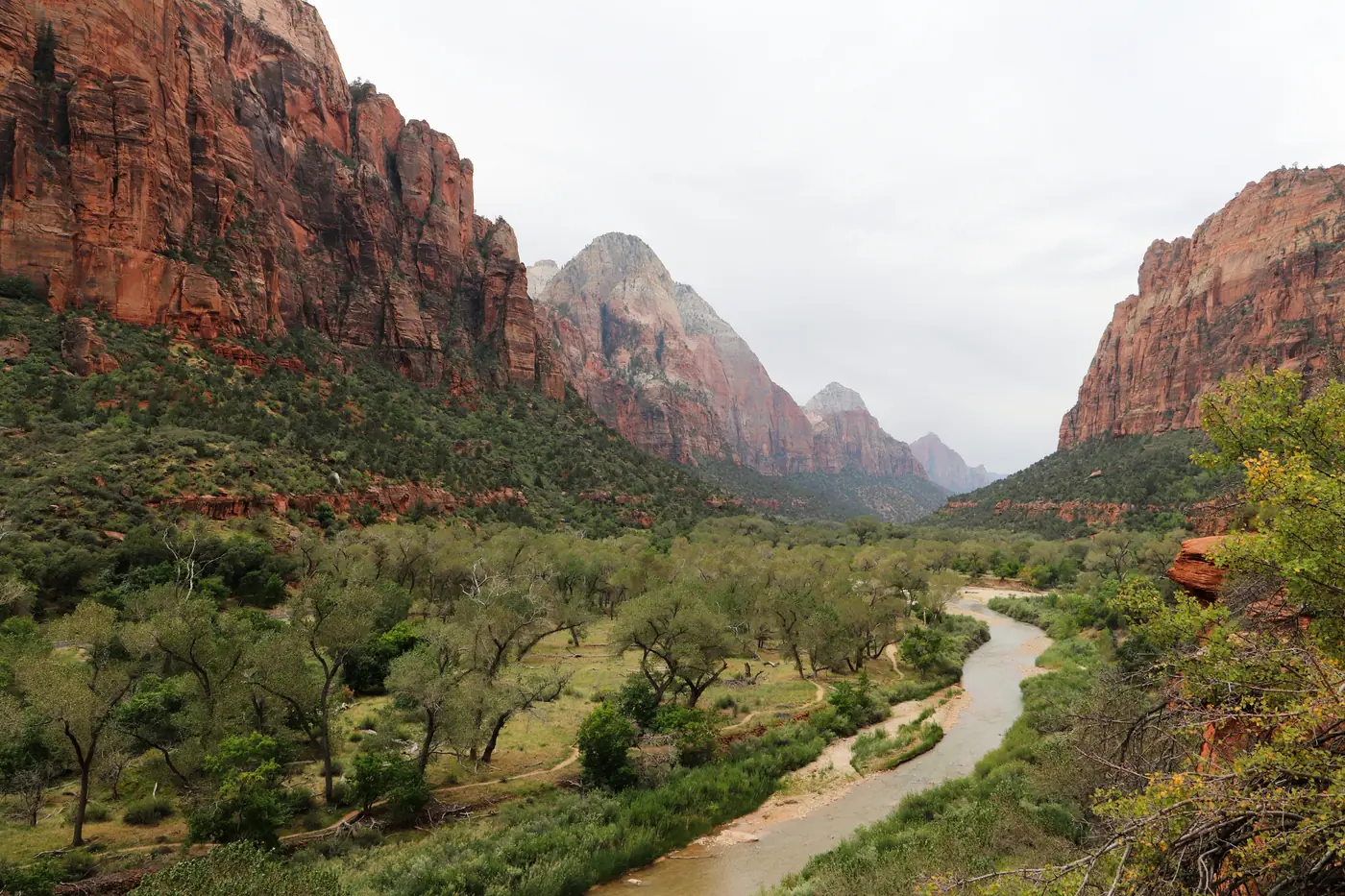
Big Bend is a shuttle stop rather than a trail, and it’s where you crane your neck at the Great White Throne and watch climbers as specks on the wall above the river. Two minutes off the bus and back on the next one.
The Kayenta Trail links the Grotto to the Emerald Pools along the hillside, which turns two separate walks into one loop and keeps you above the canyon floor for a mile of it.
Horseback rides leave from near Zion Lodge in the warmer months and follow the river up the canyon, which is a soft option on a day your legs are done.
And just outside the south entrance, Grafton is a genuine ghost town with a schoolhouse, a couple of farmhouses and a cemetery still standing. It’s a short drive on a dirt road from Rockville and takes half an hour to walk around.
Getting Around Zion Without Losing Half A Day
The Zion Canyon Scenic Drive is closed to private cars for most of the year, and the free shuttle is the only way up it. That’s not a hardship, but it does shape your day, so it’s worth understanding before you arrive.
In peak season the shuttle runs every five to ten minutes along nine stops, from the visitor center up to the Temple of Sinawava. A full round trip takes about ninety minutes. Private vehicles get the road to themselves only in the quiet stretch of winter, usually December through February.
Two things catch people out. The first is the morning queue at the visitor center, which in summer can run long enough that arriving at nine means starting your hike at ten thirty. Getting there at seven changes the whole day.
The second is the last shuttle down. If it’s full, or you miss it, the walk back to the visitor center is nine miles. Don’t cut it fine.
Beyond the canyon, the Zion Mount Carmel Highway, Kolob Canyons Road, Kolob Terrace Road and Lava Point Road are all normal roads you drive yourself. The last two close through winter, and Kolob Canyons Road closes often when it snows.
The Closures Worth Knowing About Before You Go
Zion is geologically busy, which is a polite way of saying pieces of it fall down. A few of those have permanently changed what you can hike, and old trip planning articles haven’t caught up.
Hidden Canyon has been closed since the 2019 rockfall and the park lists no reopening date. The East Rim Trail from Weeping Rock up to Observation Point is closed from the same event, which is why Observation Point now means the East Mesa Trail.
Weeping Rock itself went the other way. It closed after a separate rockfall in November 2023 and reopened in September 2025, so it’s back.
South Campground is closed for rehabilitation work with no date attached, which matters if you were counting on camping inside the park.
None of this is a reason to skip anything. It’s a reason to check the park’s current conditions page the week you travel rather than trusting a list, this one included.
Final Thoughts
The mistake people make with Zion is treating it as a one day stop between Bryce and the Grand Canyon. You can see the canyon floor in a day, but you’ll spend a good chunk of it in a shuttle line.
Two days lets you do one big hike and still have time for the drives, the short trails and an evening that isn’t rushed. Three lets you get out to Kolob and actually have the place to yourself for an afternoon.
The best of the things to do in Zion National Park aren’t all the famous ones either. The chains on Angels Landing are unforgettable, but so is a mile long stroll to Canyon Overlook at dawn, or an empty road in the northwest corner while the main canyon is packed.
Check the park’s conditions page before you drive out, enter the permit lotteries early, and get there before the crowd. The rest of it takes care of itself.