 Rebecca Engel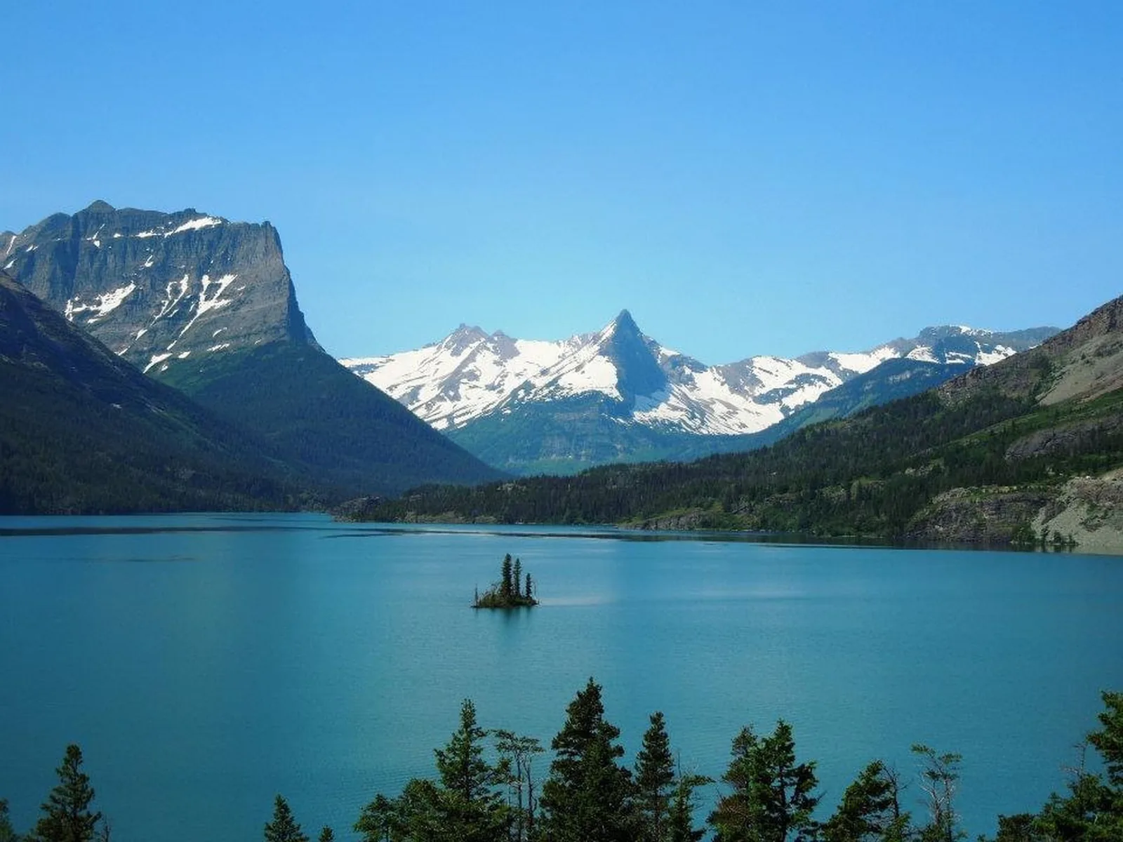
Glacier National Park is a million acres of sharp peaks, turquoise lakes, and old cedar forest tucked into the northwest corner of Montana. It’s the kind of place that lands on a bucket list and stays there. It’s also a park that goes a lot better with a plan, because the season is short and the good spots fill up before breakfast.
That’s what this guide is for. It walks through what a first timer actually has to sort out, in roughly the order it comes up: when to go, how to get there, how the Going-to-the-Sun Road and the vehicle reservation system work, where to sleep, and which hikes are worth setting an alarm for.
When To Visit Glacier National Park
Glacier has a short window, and that one fact shapes everything else about the trip. Most of the park sits under snow for eight months of the year, and the high alpine stretch of the Going-to-the-Sun Road is only fully open for about ten weeks.
July and August are peak season for good reason. The whole road is open, the trails are clear of snow, the shuttles are running, and every lodge and restaurant is in business. It’s also when the park is busiest, so parking lots fill early and stay full.
September is the quiet favorite. Crowds thin out after Labor Day, the light gets better, and the huckleberry bushes turn deep red across the hillsides. The tradeoff is that services start closing mid month, and an early snowstorm can shut the high road with no warning.
June is a gamble. The lower parts of the park are green and gorgeous, but the road over Logan Pass often isn’t open yet, which cuts off the entire middle of the park. Late June works out some years and doesn’t in others.
From October through May, most of Glacier is closed. The west side stays open as far as Lake McDonald for snowshoeing and cross country skiing, and it’s beautiful and nearly empty out there, but it’s a completely different trip than the one most people are picturing.
How To Get To Glacier National Park
The closest airport is Glacier Park International (FCA) near Kalispell, about 30 minutes from the west entrance. It’s small and the flights aren’t cheap, but the convenience is hard to argue with.
Missoula (MSO) sits about 2.5 hours away and often costs less. Spokane is closer to 5 hours, and Calgary is roughly 4 hours from the east side, which makes sense if the trip includes Waterton across the Canadian border.
Amtrak’s Empire Builder is the sleeper option. It stops at West Glacier and, in the warm months, at East Glacier Park, and the train pulls up right at the edge of the park. Getting around after it drops you off takes planning, though the free shuttle covers a good chunk of the west side.
For nearly everyone else, a rental car isn’t optional. The park is enormous, the areas are far apart, and there’s no public transportation linking them.
Going-to-the-Sun Road
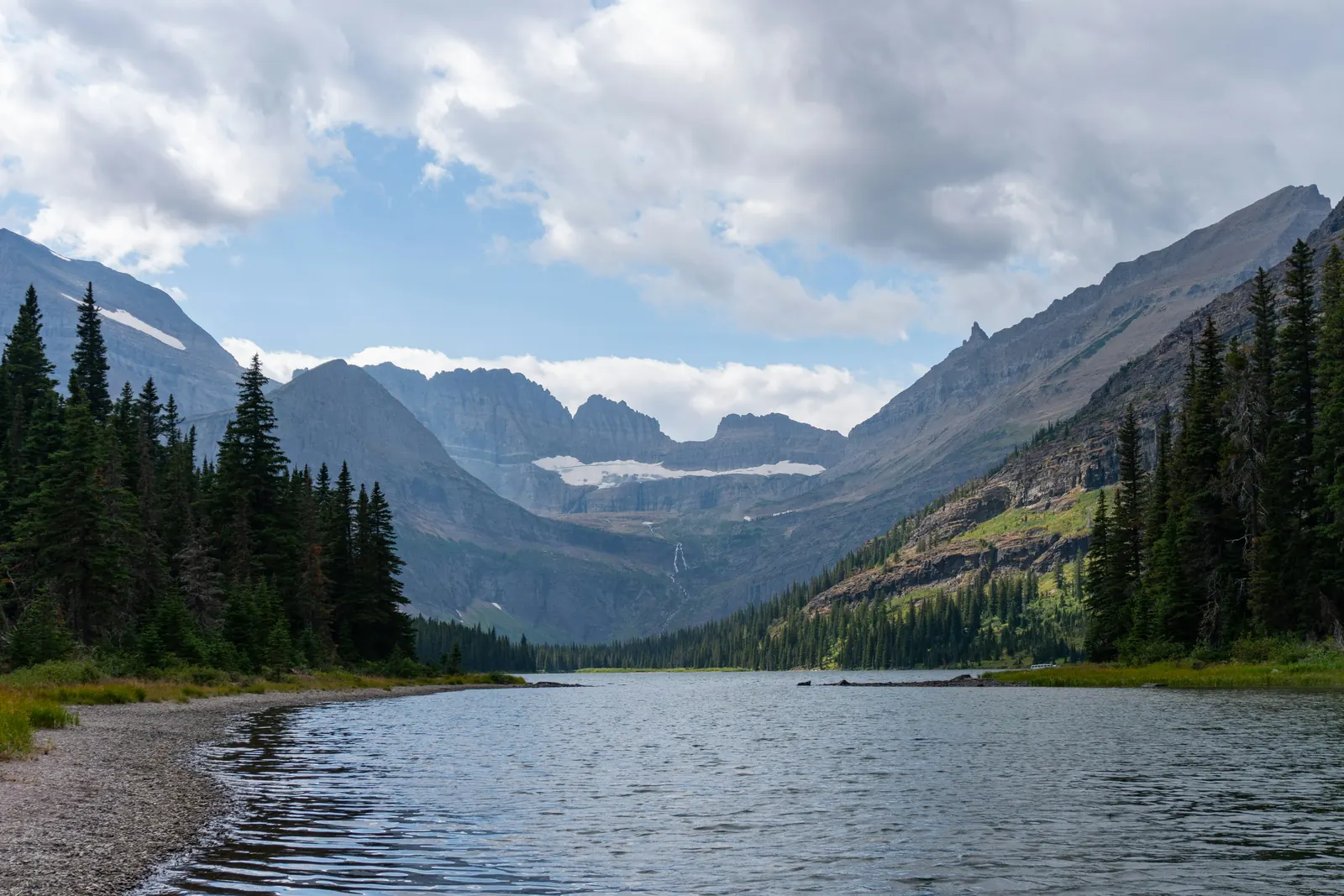
This is the road people come for. It runs 50 miles from West Glacier to St. Mary, crosses the Continental Divide at Logan Pass, and spends its middle section carved directly into the side of a mountain.
It’s also the spine of the park. Almost every major stop on a first trip sits on this road or just off it, which is why so much of the planning ends up revolving around it.
What The Drive Is Like
Plan on at least 2 hours end to end with no stops, and a full half day if the point is actually getting out at the pullouts. This is the number most people get wrong.
The alpine section is narrow, twisting, and short on guardrails. It isn’t technically difficult, but it isn’t relaxing either, and anyone who dislikes heights will feel it on the stretch running below the Garden Wall.
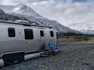
There’s a size limit through the middle, between Avalanche Creek and Rising Sun. Vehicles longer than 21 feet or wider than 8 feet including mirrors can’t make the corners, so RVs and big trucks have to drive the long way around the park.
When The Road Actually Opens
Crews start plowing in spring and finish somewhere between late June and the middle of July, depending on how heavy the snow year was. There’s no way to know the date in advance, and it has slipped deep into July more than once.
The road usually closes to through traffic in mid October, though the first serious storm can end the season earlier. Lower sections on both ends stay drivable a while longer.
The park posts road status daily, so check it right before the trip and not just while booking. A plan built entirely around driving over the pass falls apart fast if the pass isn’t open yet.
Logan Pass
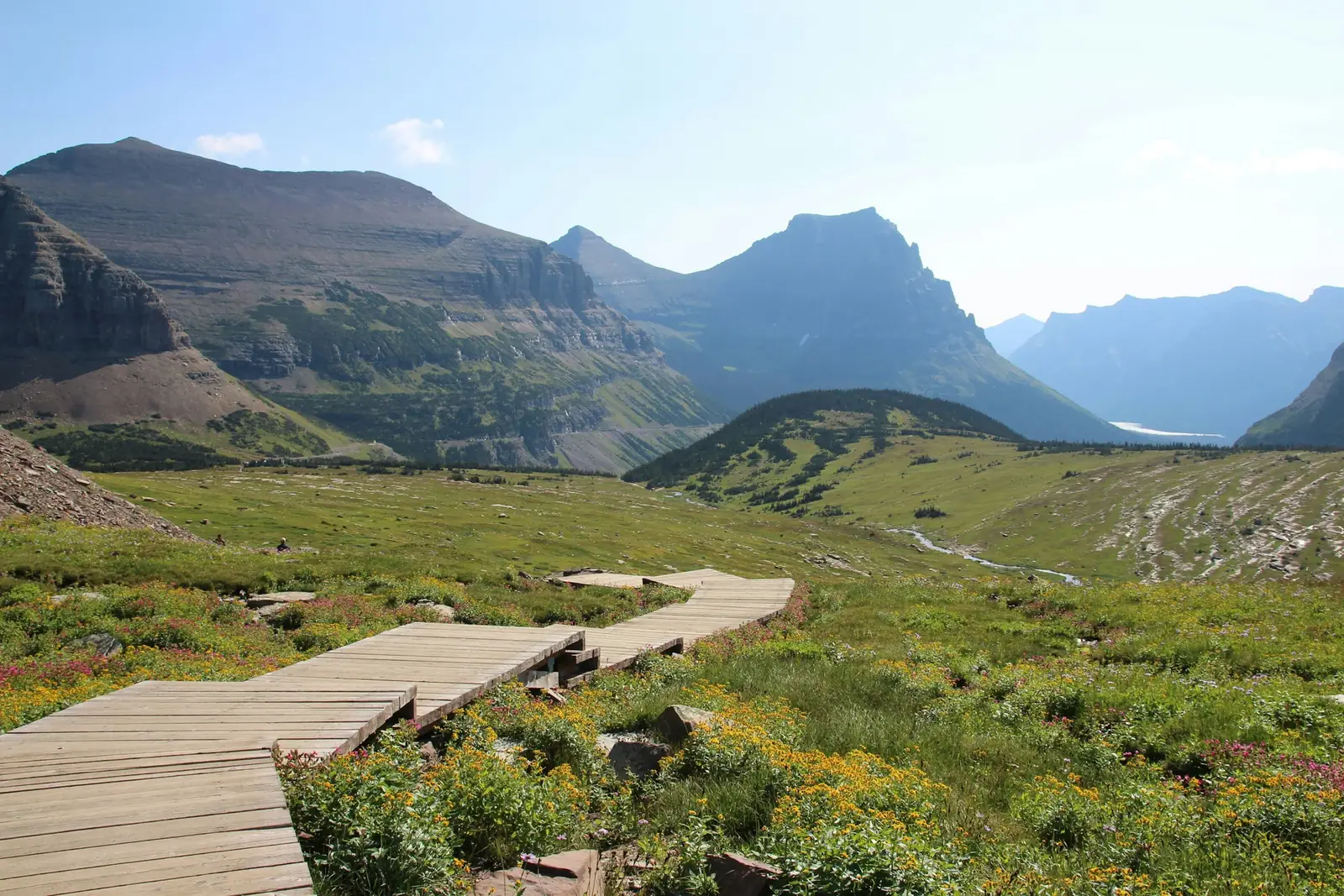
Logan Pass sits at 6,646 feet at the top of the road, and it’s the single busiest spot in the park. The visitor center is up there, and so are the trailheads for Hidden Lake and the Highline Trail.
The parking lot fills early. In summer it’s typically full by 7 or 8 in the morning and stays that way until late afternoon, with cars circling the whole time in between.
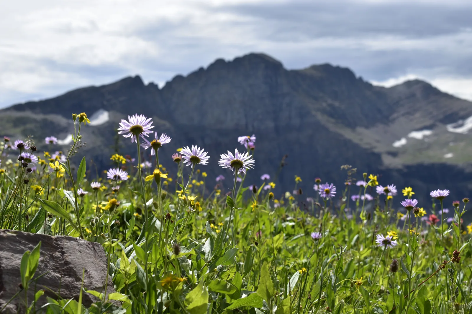
The move is simple: get there early, or come back after 4. Mountain goats and bighorn sheep wander around the boardwalk, and the meadows behind the visitor center go off with wildflowers in late July.
Park Entry And Vehicle Reservations
These are two separate things, and mixing them up is the most common planning mistake people make with this park.
The first is the entrance fee. A vehicle pass covers 7 days, and an America the Beautiful annual pass works here the same as it does at any national park. That’s what gets a car through the gate.
The second is a vehicle reservation, which is a timed entry ticket for certain busy corridors during the peak months. It’s booked separately on recreation.gov for a small fee, and having one doesn’t cover the entrance fee or the other way around.
Which corridors need one, what hours it applies, and when tickets get released all change from year to year. Some are released months ahead, and a smaller batch drops the day before, which is the backup plan when the early release sells out.
There are ways around it. Entering before or after the reservation window works, and so does holding a service reservation inside the corridor, like a lodge night, a campground booking, a boat tour, or a horseback ride. Riding the shuttle instead of driving skips the requirement too.
Because the rules get rewritten most years, check the park’s official site while booking rather than trusting a travel blog or an old forum thread. That goes for this page too.
Getting Around Without Fighting For Parking
A free park shuttle runs the length of the Going-to-the-Sun Road all summer, from Apgar on the west end to St. Mary on the east, with a transfer at Logan Pass. It’s hop on and hop off, and no reservation is needed.
It solves the parking problem, and it’s genuinely the easiest way to hike a one way trail like the Highline. The catch is the wait, which can stretch past an hour at busy stops in the middle of the day.
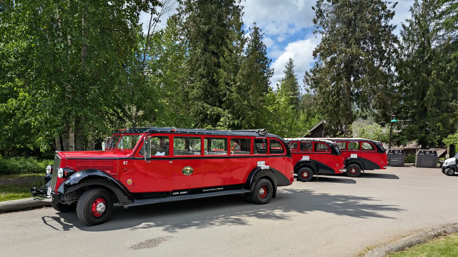
The red buses are the other classic. They’re restored 1930s touring buses with canvas tops that roll back, driven by guides who narrate the whole route, and they book up well ahead. Sun Tours runs a similar trip led by Blackfeet guides, with the focus on the tribe’s history and its ties to this land.
Whatever the plan, treat parking as the real constraint. Logan Pass, Avalanche Creek, and the Trail of the Cedars lots all fill before 9 in the morning in peak season.
No shuttle reaches Many Glacier or Two Medicine. Those are separate drives on the east side, and each one needs its own day.
The Main Areas Of Glacier National Park
Glacier isn’t one place. It’s five or six that happen to share a boundary, and understanding how they connect saves a lot of frustration later, because the drive between two of them can take longer than the drive from the airport.
There’s no road across the middle of the park except the Going-to-the-Sun Road, and it’s slow. Getting from the west side to Many Glacier means crossing the pass or driving all the way around the southern end, and both take a couple of hours.
Lake McDonald And West Glacier
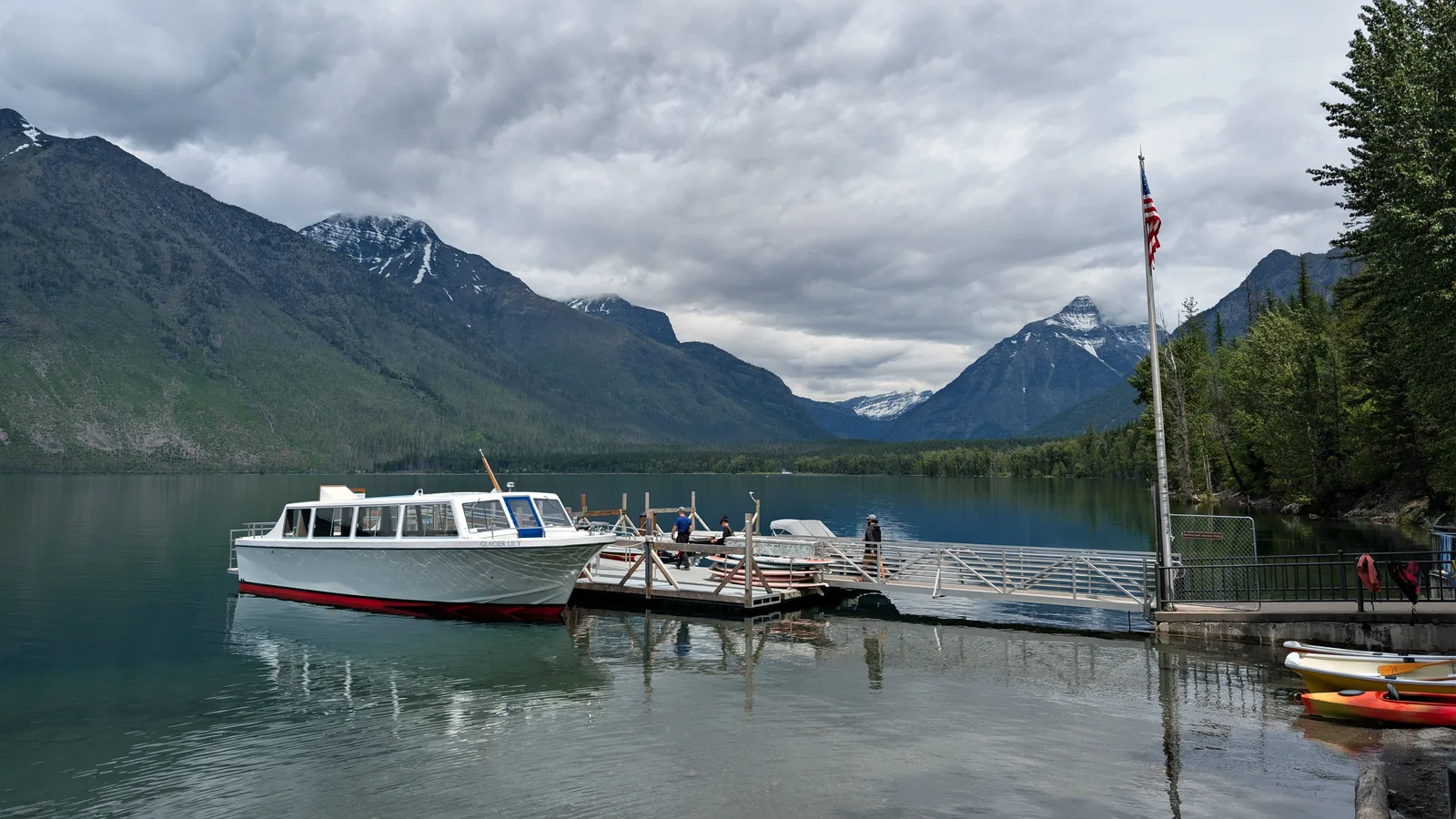
This is the busiest and most developed corner of the park, and it’s where most first trips start. Lake McDonald is 10 miles long with water clear enough to see straight to the bottom, and the smooth colored pebbles along the shore near Apgar are some of the most photographed rocks in Montana.
Apgar Village has boat rentals, a camp store, and an ice cream window. Lake McDonald Lodge sits farther up the shore with the old hunting lodge look, giant stone fireplace included.
The west side catches the most rain, which is why the cedar and hemlock forest grows here. Trail of the Cedars and Avalanche Lake both leave from the same lot a few miles up the road.
Many Glacier
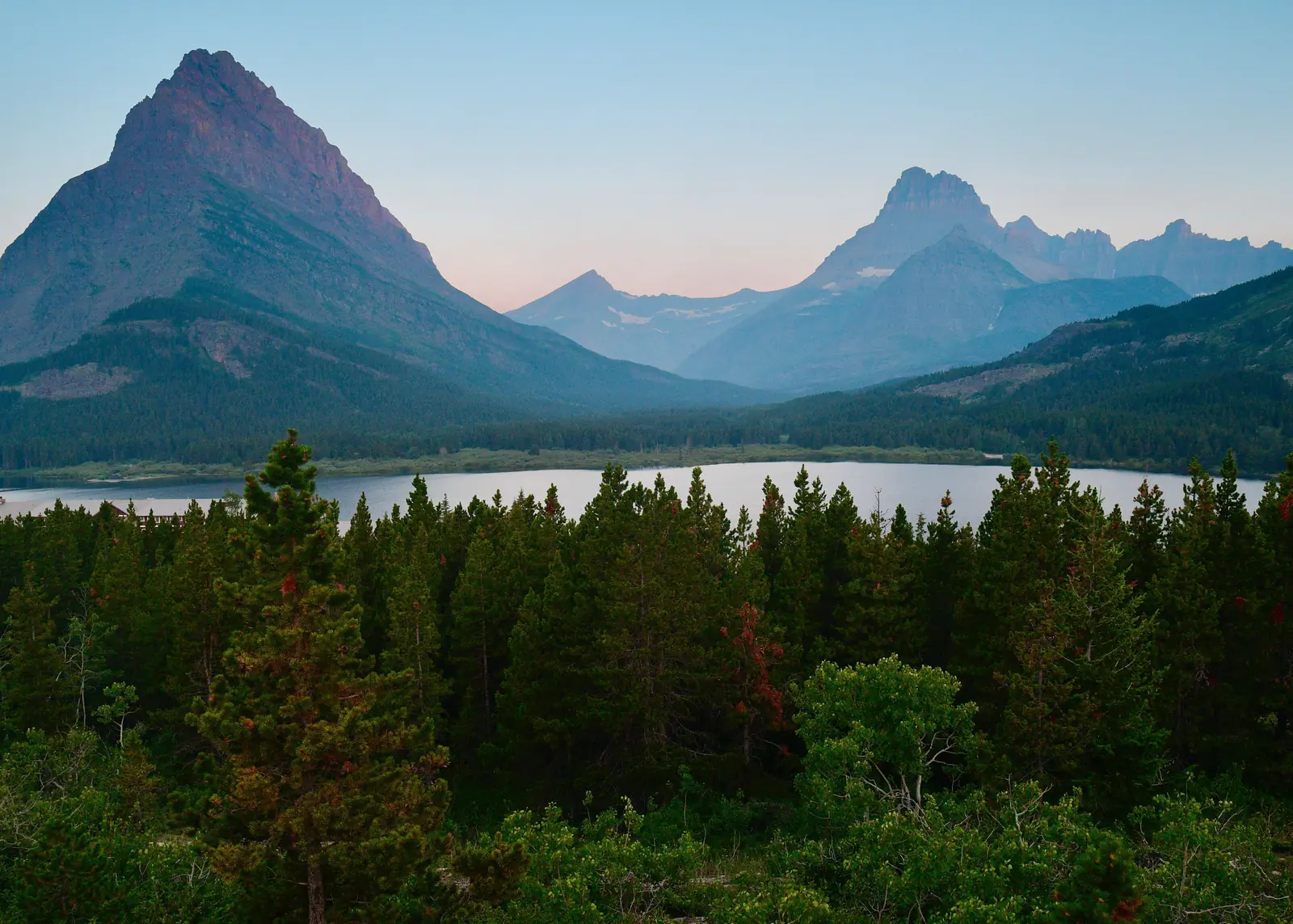
People who know this park well will tell you Many Glacier is the best part of it, and they’ve got a case. It’s a tight valley in the northeast corner ringed by peaks, with Swiftcurrent Lake in the middle and the century old Many Glacier Hotel sitting right on the water.
Two of the finest hikes in the park start here, Grinnell Glacier and Iceberg Lake. It’s also the most reliable place in Glacier to spot a grizzly, usually working the hillsides in the evening.
Getting there takes effort. No road connects it directly to the Going-to-the-Sun Road, so it’s about an hour north from St. Mary through the town of Babb, and the access road has a long reputation for being rough. Lodging inside the valley is very limited and books out roughly a year ahead.
St. Mary And The East Side
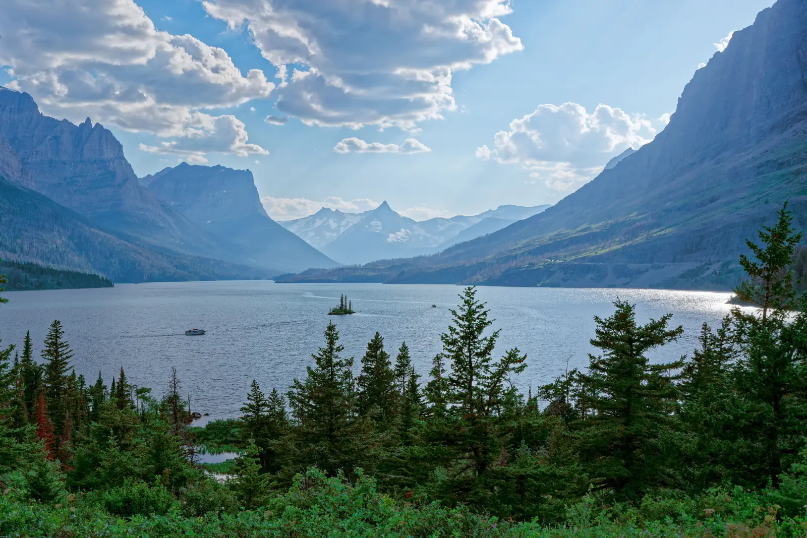
The east entrance sits in drier, windier country where the mountains drop straight onto open prairie. St. Mary Lake is the long narrow one with the tiny tree covered island in it, and the Wild Goose Island overlook is the pullout where everybody stops for that photo.
The St. Mary Falls and Virginia Falls trail leaves from this end, and the visitor center here is the best place to ask questions before heading up the road. The small town of St. Mary just outside the gate has gas, food, and a few places to sleep.
This side borders Blackfeet land right up to the park boundary, and the tribe’s connection to these mountains runs a lot deeper and a lot longer than the park itself.
Two Medicine
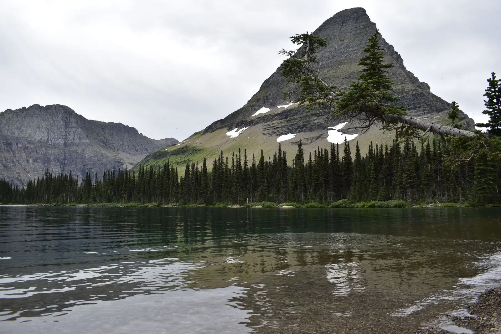
Two Medicine is the quiet one. It’s in the southeast corner about half an hour from East Glacier Park, and it sees a fraction of the traffic the rest of the park does.
A boat tour crosses Two Medicine Lake and cuts a few miles off several hikes. Running Eagle Falls is a flat half mile walk to a waterfall that pours out of a hole in the rock, and Scenic Point is the big climb out here, steep and open with a view over the plains.
Before the Going-to-the-Sun Road existed, this was the main way into the park by rail. There’s no lodging left in the valley now, just a campground and a small store.
The North Fork And Polebridge
The North Fork is the far northwest corner, and it’s undeveloped on purpose. The road in is gravel, slow, and hard on tires, there’s no cell service, and that’s the entire appeal.
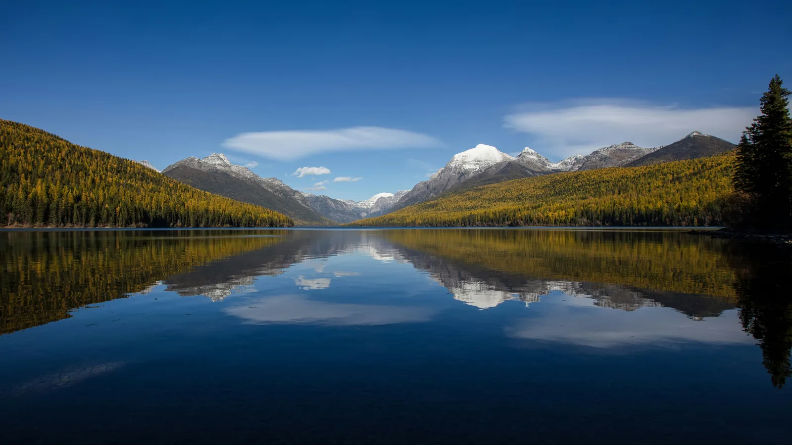
Bowman Lake and Kintla Lake are back here, both long and still with mountains stacked at the far end. Polebridge is the settlement on the way in, and the Polebridge Mercantile bakes huckleberry bear claws that people will drive an hour for.
This is a full day and it isn’t for everyone. Skip it on a 3 day trip and save it for a return visit, or for a day when the main road is a zoo.
Best Hikes In Glacier National Park For First Timers
There are more than 700 miles of trail here, and a first trip can only touch a handful. These five cover the range, from a flat boardwalk anyone can do to the hike people build entire trips around.
A few things apply to all of them. Trails close on short notice for bear activity, snow hangs on the high routes into July, and afternoon storms move in fast above treeline. Check the trail status board at a visitor center before setting out.
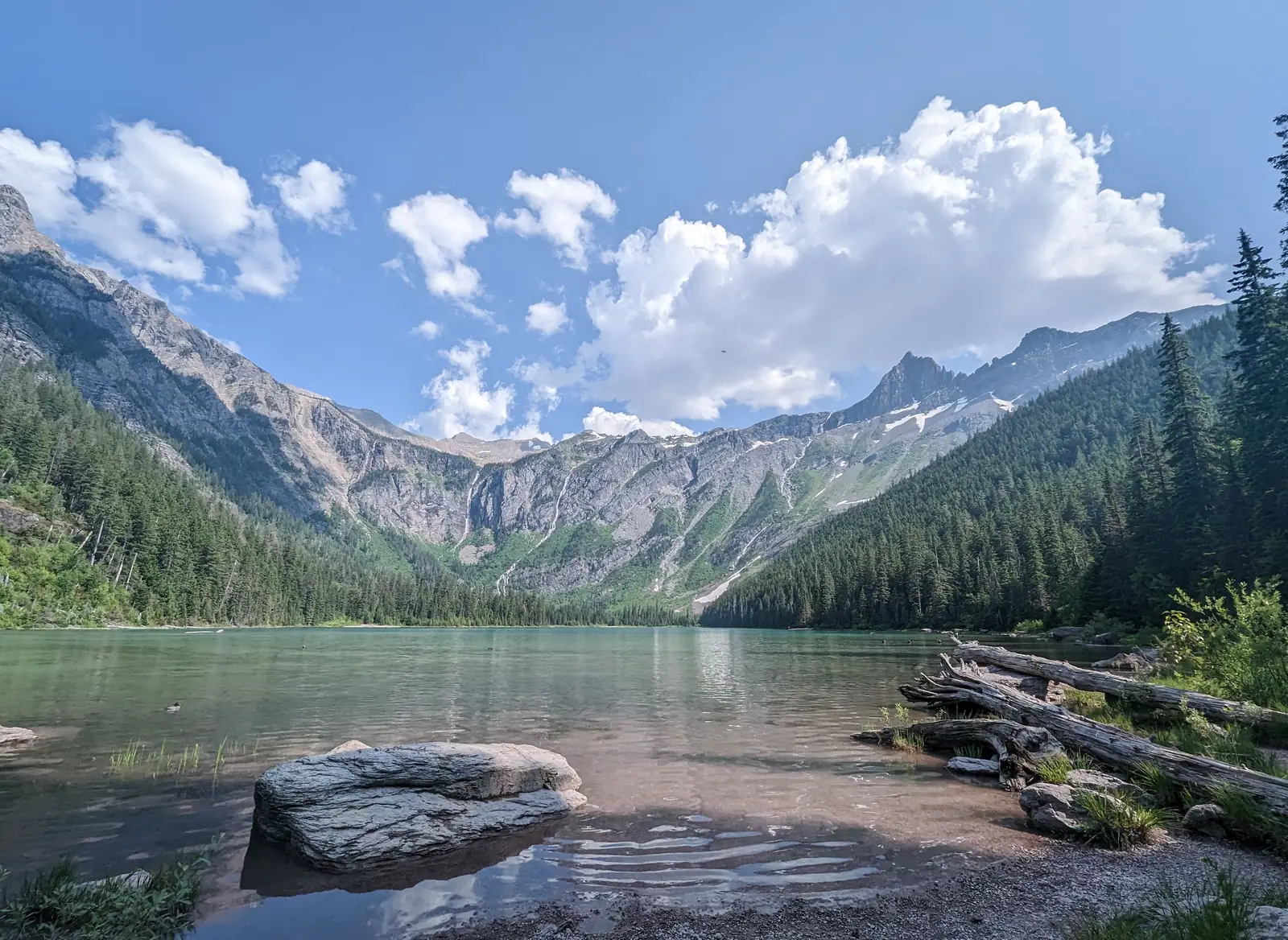
Trail Of The Cedars And Avalanche Lake
These two share a trailhead off the Going-to-the-Sun Road and work as a pair. Trail of the Cedars is a flat boardwalk loop just under a mile long through old growth cedar, and it’s fully accessible.
Avalanche Lake branches off it, running about 4.5 miles round trip with a gentle climb alongside a gorge. The payoff is a lake with waterfalls pouring down the cliffs on the far side.
It’s the most popular hike on the west side, so the lot is gone by mid morning. Going first thing or riding the shuttle is the difference between a good morning and a wasted one.
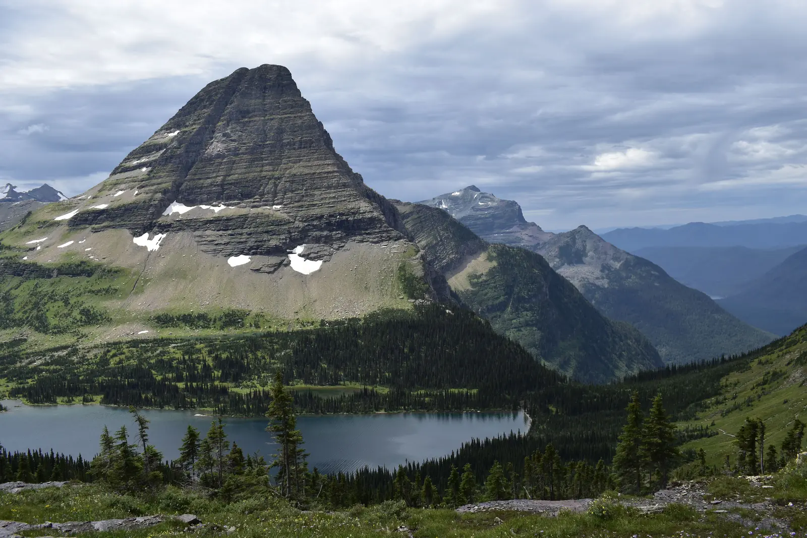
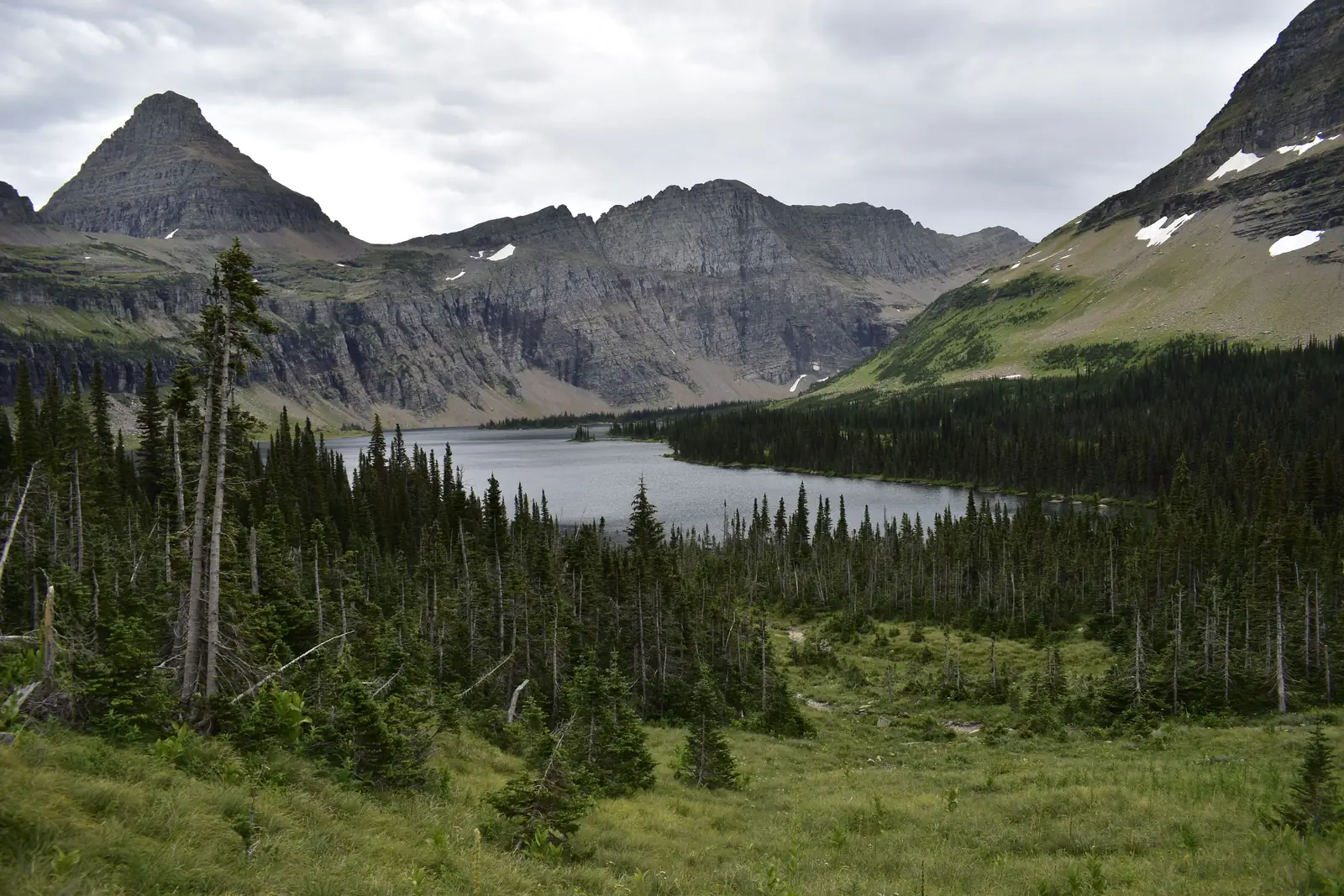
Hidden Lake Overlook
This one starts right at the Logan Pass visitor center and runs about 2.7 miles round trip on boardwalk and trail. It’s the easiest way to earn a real alpine view without committing to a big day.
Mountain goats and bighorn sheep are close to guaranteed up here, and they’re used to people to the point of ignoring them completely. Keep your distance anyway.
The section past the overlook down to the lake itself is often closed in summer for bear activity, so plan on the overlook and treat anything beyond it as a bonus.
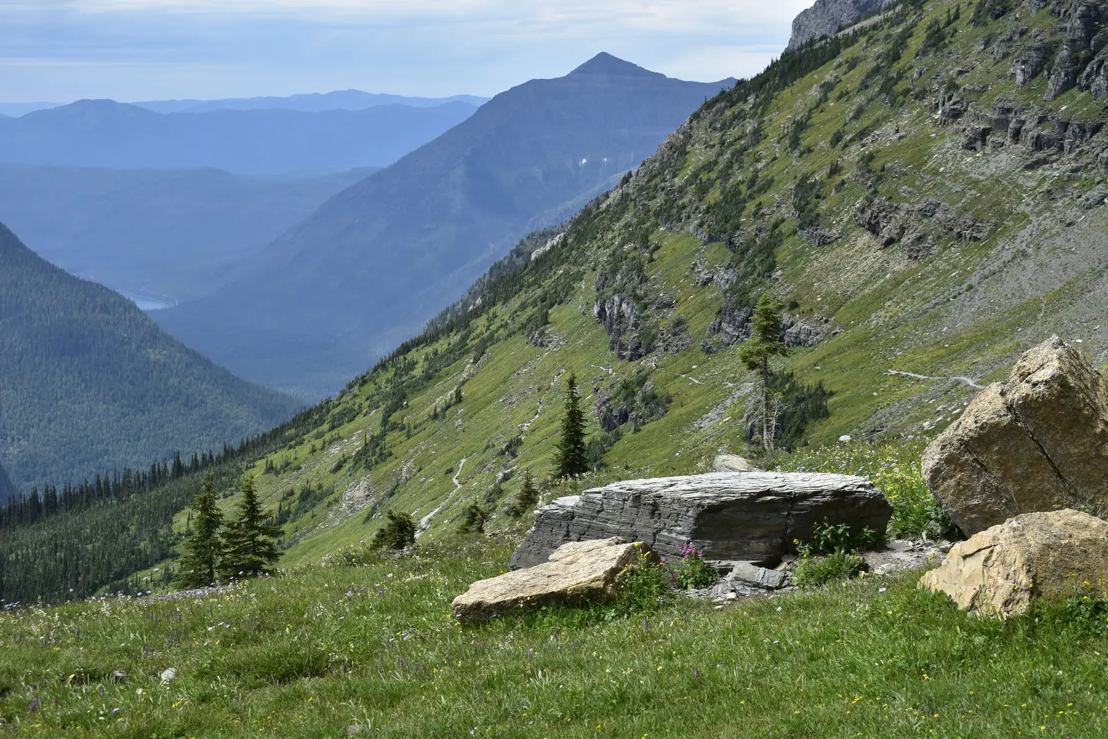
The Highline Trail
The Highline is the famous one. It leaves from across the road at Logan Pass and traces the Garden Wall, staying high the entire way with the road visible far below.
The first half mile is the part people talk about, a narrow ledge with a hand cable bolted into the rock face. It’s safe and plenty of people walk it every day, but anyone who really hates exposure should know it’s coming before they start.
The full route runs about 11.8 miles one way and finishes at The Loop, where the shuttle picks up. Turning around at any point is fine, and the first 2 or 3 miles hold most of the drama anyway.
Grinnell Glacier
If one hike defines Glacier National Park, it’s this one. The trail climbs out of the Many Glacier valley past two turquoise lakes to a basin holding what’s left of Grinnell Glacier, with chunks of ice floating in the meltwater below it.
The full hike is about 10.6 miles round trip with 1,600 feet of climbing. Taking the two boats across Swiftcurrent and Josephine trims roughly 3.4 miles off that, and those boat tickets sell out days ahead.
It’s a long day with almost no shade. Start early, carry more water than seems reasonable, and keep bear spray somewhere you can actually reach it.
St. Mary And Virginia Falls
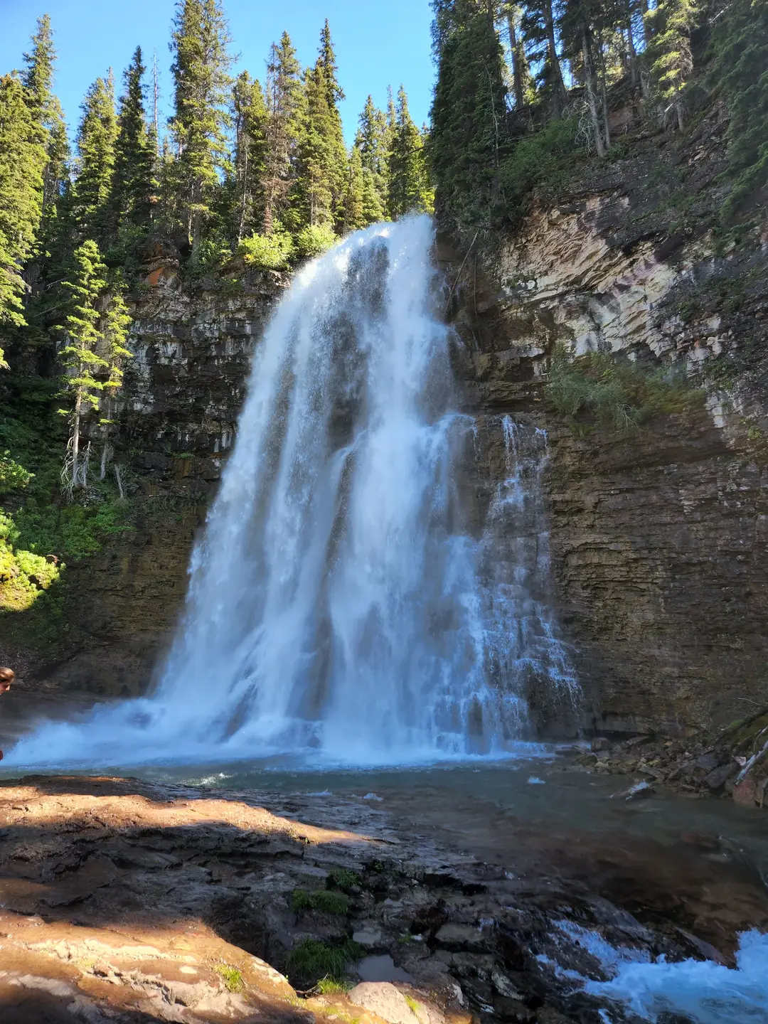
This is the best short hike on the east side. The trail reaches St. Mary Falls at about 1.6 miles round trip, then continues up to the taller Virginia Falls.
Doing both is roughly 3.6 miles with a manageable climb, passing through forest that burned in 2015 and is coming back. The open sightlines through the standing trunks are a strange kind of pretty.
Virginia Falls is the better of the two, tall and loud with spray drifting onto the trail. Go all the way up.
Where To Stay
Lodging is the piece of a Glacier trip that gets booked first, well before flights. There isn’t much of it and it goes quickly.
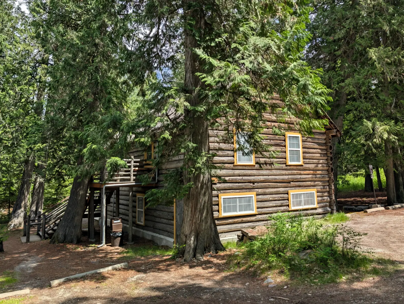
Inside the park, the historic lodges are the draw. Many Glacier Hotel and Lake McDonald Lodge are the two big ones, with Rising Sun and Swiftcurrent as simpler options and the Village Inn sitting right on the water at Apgar. Rooms open up around 13 months ahead and the best dates disappear fast.
Set expectations on what those rooms are like. They’re old buildings, so there are no TVs, the wifi barely functions, some rooms share a bathroom, and air conditioning mostly doesn’t exist. The location is the entire point.
Campgrounds are the other in park option. Some take reservations on recreation.gov and some are first come, first served, and the reservable ones behave like concert tickets on release day.
Outside the park, West Glacier and Columbia Falls sit closest to the west entrance. Whitefish has the best food and the most going on and sits about 40 minutes out, while Kalispell has the most rooms at the lowest prices about 50 minutes out.
The east side is thinner. St. Mary, Babb, and East Glacier Park each have a few places, and staying out there is what makes an early start at Many Glacier or Two Medicine realistic.
The one setup to avoid is basing the whole trip in Whitefish and day tripping everywhere from there. Many Glacier is close to 3 hours away, which means 6 hours in the car to spend an afternoon in the best valley in the park.
Bears And Wildlife
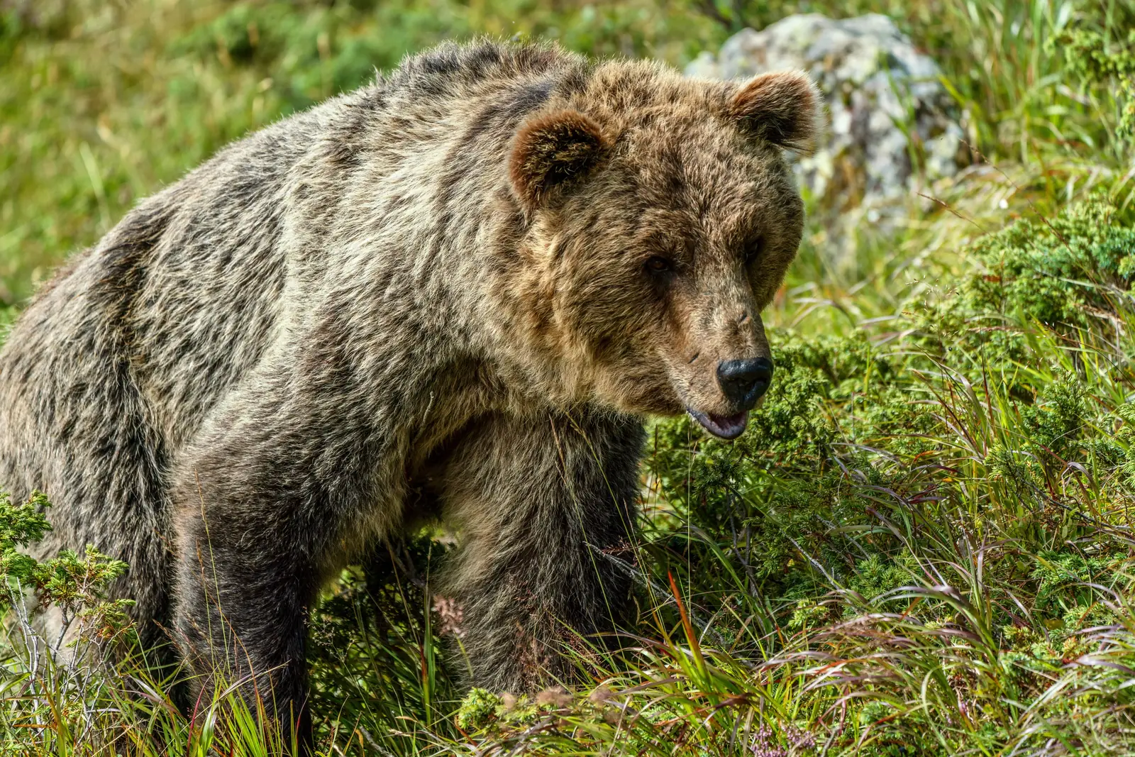
Glacier holds one of the densest grizzly populations in the lower 48, plus black bears throughout. Running into one isn’t a freak event out here, it’s a normal part of hiking in this park.
Carry bear spray and keep it somewhere reachable, clipped to a hip belt or a chest strap, not buried in a pack. It works, but only if it’s in hand within a couple of seconds.
It can’t fly, so buy a canister in Kalispell or at a shop near the entrances, or rent one for the week and hand it back on the way out.
The rest is straightforward. Make noise on blind corners, hike in a group when you can, never run, and give any bear a wide berth. Food goes in the car or a locker, never in a tent.
The wildlife watching is a highlight on its own. Mountain goats and bighorn sheep at Logan Pass, moose in the marshy ground around Many Glacier and Two Medicine, and the occasional traffic jam because a bear wandered near the road.
How Many Days You Need
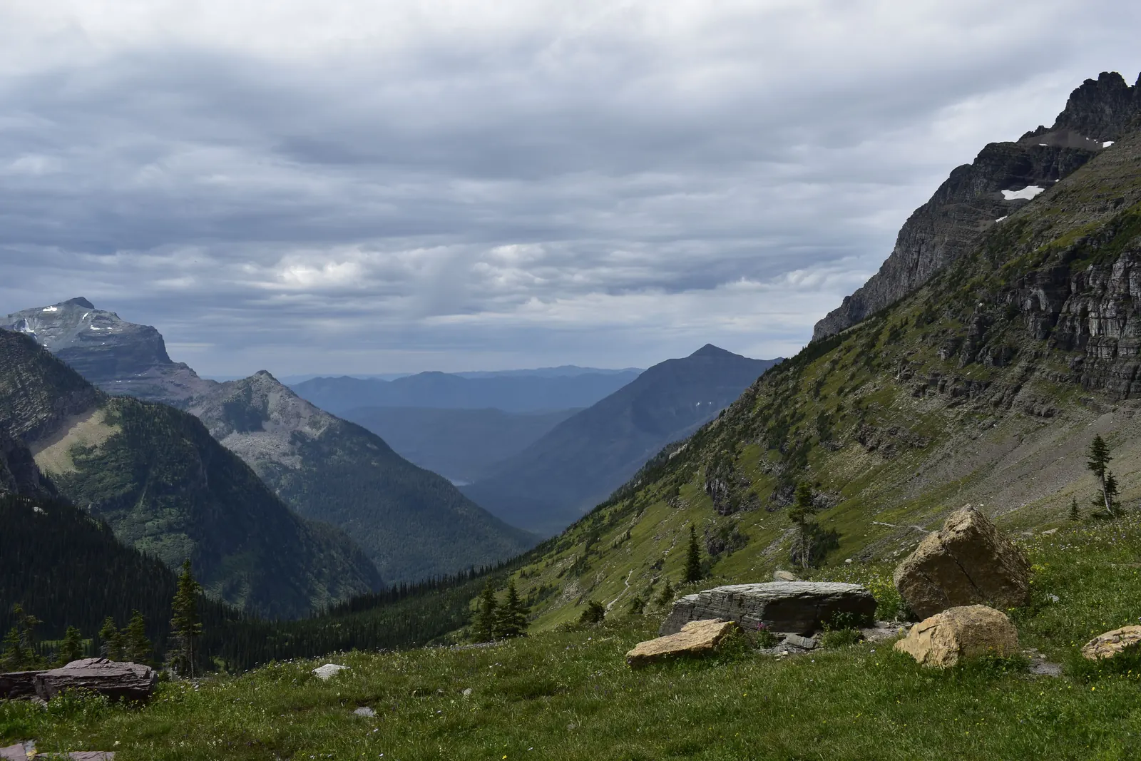
Three days is the floor, and it’s tight. That’s one day for the Going-to-the-Sun Road and Logan Pass, one for Lake McDonald and Avalanche, and one for Many Glacier.
Five days is the sweet spot. It fits a big hike like Grinnell or the Highline without wrecking everything else, plus a day for Two Medicine or the North Fork and some slack for weather.
A week makes room for Waterton Lakes National Park across the Canadian border, which joins Glacier as an international peace park. That crossing needs a passport, so pack it if there’s any chance of going.
Whatever the number, build in a buffer day. Weather closes roads and trails here with very little notice, and a schedule with no give turns one storm into a ruined trip.
Mistakes First Timers Make
The biggest one is underestimating drive times. Distances look short on a map and then take three times as long on mountain roads with wildlife jams and nowhere to pass.
The second is expecting glaciers everywhere. Around 25 named glaciers are left in the park and most take a serious hike to reach, so the name says more about what carved this landscape than what’s sitting in it today.
Third is showing up at Logan Pass at 11 in the morning. The lot is full, the shuttle line is long, and the whole middle of the day gets spent waiting on other people to leave.
Packing only for summer is another. It can snow at the pass in July, and a sunny 80 degree afternoon at Lake McDonald can be 45 and windy at Logan Pass a couple of hours later. Layers and a rain shell belong in the day pack every single time.
The last one is treating the east side as an afterthought. Many Glacier and Two Medicine deserve full days, not the leftover hours at the end of a trip.
Final Thoughts
Glacier rewards the planning. Book the lodging early, sort out the reservation system before arriving, get moving before the crowds do, and most of the rest takes care of itself.
It’s a park that sticks with people. That first look down the Going-to-the-Sun Road, or across Swiftcurrent Lake early in the morning, is the kind of thing a first trip to Glacier National Park gets built around, and most visitors leave already working out when they can come back.